Sri Lanka Map: Regions, Distances and Drive Times
Sri Lanka by region, with sourced road and rail distances between the main towns. Region and distance tables, no map image. Checked 24 October 2026.
What does a simple Sri Lanka map look like?
Quick answer: Think of Sri Lanka as a hub around Colombo and the central hills, with the west and south coasts running down one side, the cultural triangle in the centre north, the east coast along the far side, and the north beyond that. The distances below show how far apart the main towns are by road: Colombo to Galle is about 126 km, Colombo to Kandy about 115 km, and Colombo to Jaffna about 398 km. Real drives take longer than these no-traffic samples, so plan one long transfer a day. We do not embed a copyrighted map, so we use a static region list and a distance table instead.
How is Sri Lanka divided into regions?
We use seven regions across the site. Here is the shape of the island in plain words, with links to each region page for detail.
| Region | What it covers (our region page) | Where it sits |
|---|---|---|
| Colombo and the west coast | Colombo, Negombo and other west-coast stops | West |
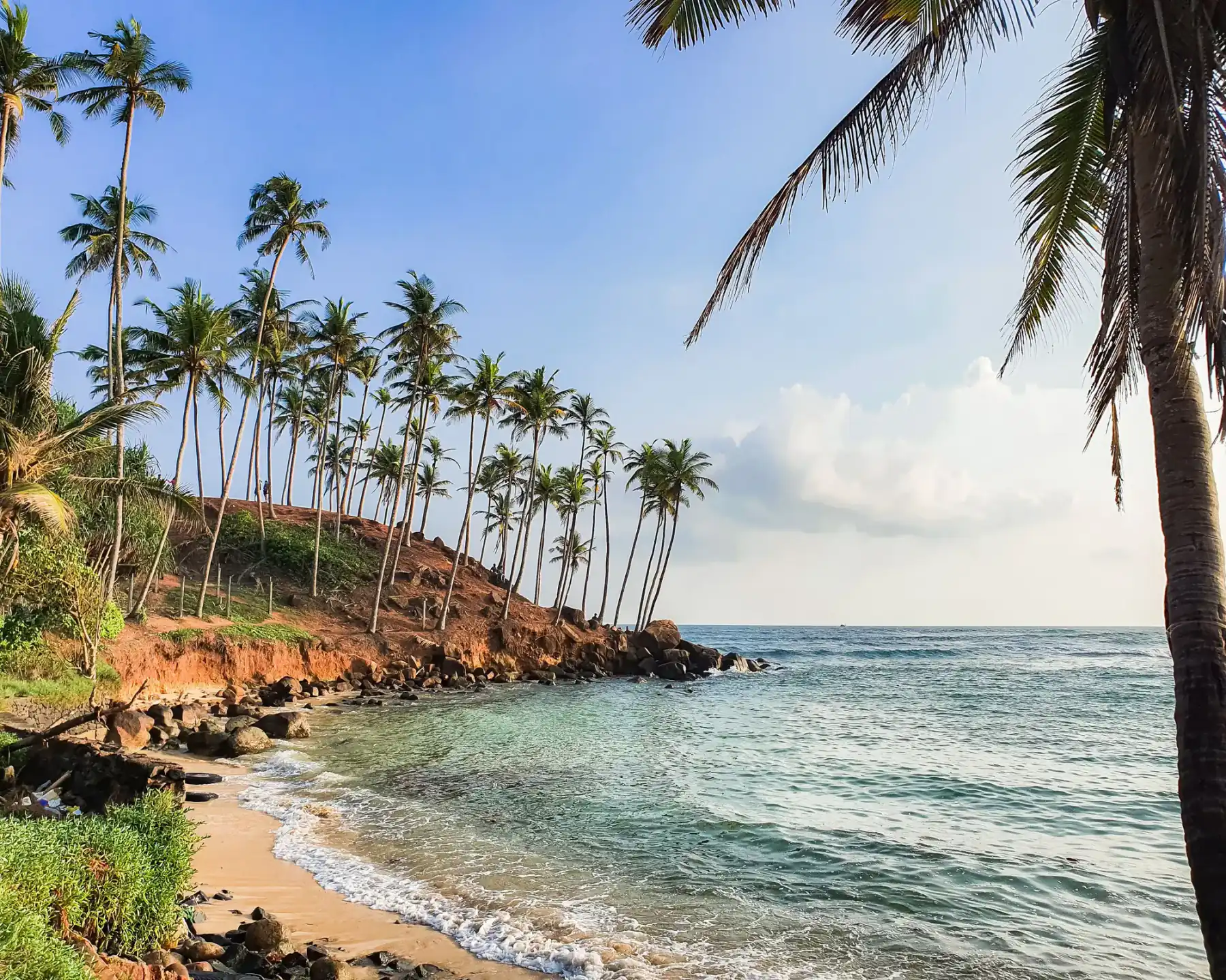
| South coast | Galle to Tangalle, town by town | South-west and south |
| Deep south safari country | Yala, Udawalawe, Hambantota and nearby | South-east inland and coast |
| Hill country and central highlands | Kandy, Nuwara Eliya, Horton Plains, Ella area, tea country | Centre and south-centre |
| Cultural triangle | Anuradhapura, Polonnaruwa, Sigiriya, Dambulla | Centre-north |
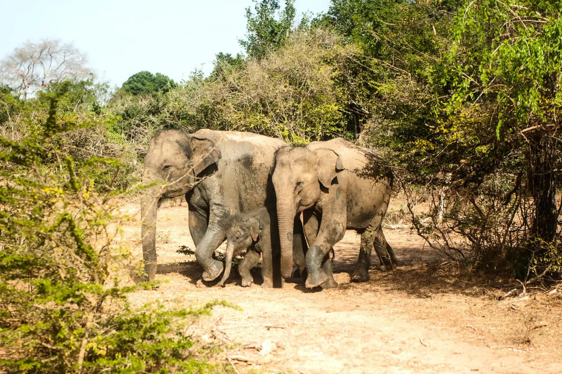
| East coast | Trincomalee, Batticaloa, Arugam Bay | East |
| Northern Sri Lanka | Jaffna and the peninsula | Far north |
Why is there no map image on this page?
The picture at the top is a decorative illustration, not a map of Sri Lanka. We do not copy a published map, trace one, embed Google Maps or OpenStreetMap tiles, or add an interactive viewer. The region table above and the distance tables below carry the information instead. If you need a map you can navigate with, open your own maps app and check road and rail notices for your date.
How far is it between the main towns?
These are driving samples between town centres, with no traffic. Use them to compare, not to schedule. Pickup point, route and weather change the real number.
From Colombo
| Route | Road distance | Time with no traffic | Source and date |
|---|---|---|---|
| Colombo to Negombo | 38 km | 37 min | OSRM sample, 24 Oct 2026 |
| Colombo to Galle | 126 km | 1 h 51 min | Our Colombo to Galle train guide, OSM 23 Oct 2026 |
| Colombo to Kandy | 115 km | 2 h 12 min | OSRM sample, 24 Oct 2026 |
| Colombo to Sigiriya | 168 km | 3 h 1 min | OSRM sample, 24 Oct 2026 |
| Colombo to Dambulla | 151 km | 2 h 38 min | OSRM sample, 24 Oct 2026 |
| Colombo to Anuradhapura | 209 km | 3 h 43 min | OSRM sample, 24 Oct 2026 |
| Colombo to Nuwara Eliya | 158 km | 3 h 3 min | OSRM sample, 24 Oct 2026 |
| Colombo to Ella | 196 km | 3 h 38 min | OSRM sample, 24 Oct 2026 |
| Colombo to Trincomalee | 259 km | 4 h 43 min | OSRM sample, 24 Oct 2026 |
| Colombo to Batticaloa | 312 km | 5 h 39 min | OSRM sample, 24 Oct 2026 |
| Colombo to Jaffna | 398 km | 7 h 15 min | OSRM sample, 24 Oct 2026 |
For the airport, our guides give about 145 km and 2 hours 37 minutes from Bandaranaike International Airport to Sigiriya (airport to Sigiriya, 23 Oct 2026) and about 175 km and 2 hours 20 minutes to Mirissa (Mirissa guide, 19 Oct 2026).
Our newer airport guides add more road samples from the terminal: Colombo city, Negombo, Bentota, Hikkaduwa, Dambulla, Nuwara Eliya and Ella, all checked 27 October 2026.
Within the cultural triangle and north
| Route | Road distance | Time with no traffic | Source and date |
|---|---|---|---|
| Sigiriya to Anuradhapura | 70 km | 1 h 31 min | OSRM sample, 24 Oct 2026 |
| Sigiriya to Polonnaruwa | 54 km | 1 h 4 min | OSRM sample, 24 Oct 2026 |
| Sigiriya to Trincomalee | 98 km | 2 h 0 min | OSRM sample, 24 Oct 2026 |
| Habarana to Trincomalee | 84 km | not stated | Our Trincomalee guide |
| Anuradhapura to Jaffna | 202 km | 3 h 43 min | OSRM sample, 24 Oct 2026 |
Kandy and the hill country
| Route | Road distance | Time with no traffic | Source and date |
|---|---|---|---|
| Peradeniya station to Kandy station | 6.8 km | 9 min | Our Colombo to Kandy train guide, OSM 19 Oct 2026 |
| Kandy to Sigiriya | 89 km | 1 h 48 min | OSRM sample, 24 Oct 2026 |
| Kandy to Nuwara Eliya | 73 km | 1 h 32 min | OSRM sample, 24 Oct 2026 |
| Kandy to Ella | 134 km | 2 h 41 min | Our Kandy to Ella train vs road guide, OSM 23 Oct 2026 |
| Nanu Oya station to Nuwara Eliya | 7.8 km | not stated | Our Ella vs Nuwara Eliya guide, OSM 19 Oct 2026 |
| Nuwara Eliya to Ella | 55 km | 1 h 9 min | OSRM sample, 24 Oct 2026 |
| Nuwara Eliya to Haputale | 46.3 km | 57 min | Our Haputale guide, OSM 19 Oct 2026 |
| Haputale to Ella | 21.9 km | 26 min | Our Haputale guide, OSM 19 Oct 2026 |
| Bandarawela to Ella | 11.5 km | 13 min | Our Bandarawela guide, OSM 19 Oct 2026 |
| Ella to Wellawaya | about 27 km | not stated | Our Ella guide |
South coast and the south-east
| Route | Road distance | Time with no traffic | Source and date |
|---|---|---|---|
| Galle Fort to Unawatuna | about 5 km | not stated | Our Galle guide |
| Mirissa to Matara | about 8 km | not stated | Our Mirissa guide |
| Tangalle to Ella | 138 km | 2 h 25 min | Our south coast to Ella guide, OSM 23 Oct 2026 |
| Mirissa to Ella | 176 km | 2 h 54 min | Same guide |
| Galle Fort to Ella | 199 km | 3 h 7 min | Same guide |
| Ella to Tissamaharama | about 89 km | not stated | Our Ella guide |
| Arugam Bay to Ella | 133 km | 2 h 29 min | Our Arugam Bay to Ella guide, OSM 23 Oct 2026 |
| Arugam Bay to Tissamaharama | 154 km | 2 h 48 min | Our Arugam Bay to Yala guide, OSM 23 Oct 2026 |
East coast
| Route | Road distance | Time with no traffic | Source and date |
|---|---|---|---|
| Trincomalee to Batticaloa | 137 km | 2 h 53 min | OSRM sample, 24 Oct 2026 |
| Batticaloa to Arugam Bay | 112 km | 2 h 6 min | OSRM sample, 24 Oct 2026 |
The Arugam Bay, Batticaloa and Trincomalee rows give a feel for how long the east coast is: you will not combine all three without transfer days, as our Arugam Bay guide says.
What are the railway distances from Colombo Fort?
The Sri Lanka Railways fare table dated July 2022, which was still the published table on 23 October 2026, gives these distances from Colombo Fort. We reused them from our own guides. Rail distance is along the track, so it differs from road distance.
| Station | Rail distance from Colombo Fort | Our guide |
|---|---|---|
| Bentota | 60.97 km | Colombo to Galle train |
| Galle | 113.89 km | Colombo to Galle train |
| Unawatuna | 119.53 km | Colombo to Galle train |
| Mirissa | 147.56 km | Colombo to Galle train |
| Beliatta | 183.23 km | Tissamaharama |
| Habarana | 210.24 km | Airport to Sigiriya |
| Haputale | 247.97 km | Haputale |
| Bandarawela | 259.15 km | Bandarawela |
Whether a train runs on a given day is a separate question. Check Sri Lanka Railways notices, as our getting around guide advises.
How do these distances turn into a plan?
- Count transfer days, not towns. A three-hour no-traffic road sample is a half-day in real life once you add stops, rain and hill roads.
- Keep one long move per day. Colombo to Ella or Colombo to Trincomalee is a full day.
- Do the east and the south separately. The east coast and the south coast are on opposite sides of the island, and our east versus south coast guide helps you choose one for your dates.
- Remember the hills. Hill roads and rain make sample times optimistic. Our Kandy to Ella by road guide shows how to build slack.
- Check the route on the day. Heavy rain affects roads and trains. The Department of Meteorology expects rain in the south-west until 27 October 2026, and the Disaster Management Centre has asked travellers to reconsider non-essential trips to the central hills (Daily Mirror, 22 October).
What is the highest point, and how high are the hills?
The Wikipedia entry on the geography of Sri Lanka says the highest point is Pidurutalagala at 2,524 m, with mountainous country in the south-central interior. For heights of the main hill towns, see our hill country altitude guide.
What gaps remain?
- A map graphic. This page has no map image, only the region table and distance tables.
- Rows with no time. Where we reuse a distance without a time, the source page did not state one.
- One sample per route. Real routes differ by pickup point and road.
- A full matrix. We have not built a town-by-town matrix. If you want one, we would compute it from one routing source on one date and label it.
Frequently asked questions
How big is Sri Lanka, and how long does it take to cross?
We do not publish an island-wide size figure from an official source on this page. What we can show is road samples between towns: Colombo to Kandy is about 115 km and Colombo to Jaffna about 398 km on one OpenStreetMap route sample checked on 24 October 2026, with no traffic. Real journeys take longer, so plan one big transfer per day.
How far is Colombo from Kandy?
About 115 km and 2 hours 12 minutes by road with no traffic, on the OpenStreetMap route sample we checked on 24 October 2026, between the two city centres. In practice allow more for traffic. There is no Colombo to Kandy train for now: Sri Lanka Railways suspended all trains between Rambukkana, Peradeniya and Gampola from midnight at the end of 25 October 2026 until further notice, after a landslide near Kadigamuwa, and no restart date has been given. Check our Colombo to Kandy train guide for the latest rail status.
How far is Ella from Colombo?
About 196 km and 3 hours 38 minutes by road with no traffic on the OpenStreetMap sample we checked on 24 October 2026. Wikipedia gives Ella as approximately 200 km east of Colombo. There is no through train, so most people split the trip. Our Kandy to Ella guides cover the options.
What are Sri Lanka's main regions?
Our site uses seven: Colombo and the west coast, the south coast, the deep south safari country, the hill country and central highlands, the cultural triangle, the east coast and northern Sri Lanka. Each has its own page, linked on this guide.
Are the distances on this page exact?
No. They are one OpenStreetMap or railway-table sample each, with no traffic, between the points we named. Pickup points, route choice, weather and roadworks change real distances and times. Where a figure comes from another page on this site, we say which.
Can I get a printable or interactive Sri Lanka map here?
Not on this page. We do not embed copyrighted maps or an interactive map, so we use a region table and distance tables instead. For live navigation, use your own maps app and check road notices.
What is the highest point in Sri Lanka?
Pidurutalagala, at 2,524 m, according to the Wikipedia geography entry for Sri Lanka and its own page. It is near Nuwara Eliya. See our hill country altitude guide for how that compares with Ella, Kandy and Horton Plains.
Sources
Last verified 2026-10-25
- https://router.project-osrm.org/
- https://www.openstreetmap.org/
- https://en.wikipedia.org/wiki/Geography_of_Sri_Lanka
- https://en.wikipedia.org/wiki/Pidurutalagala
- https://www.railway.gov.lk/web/images/pdf/Ticket_Price_Line/main_line/1_fot.pdf
- https://colombotribune.com/rain-to-continue-in-south-west-until-27-october-rambukkana-gampola-trains-suspended-after-landslide/
- https://www.dailymirror.lk/breaking-news/Public-urged-to-reconsider-planned-excursions-due-to-heavy-rains-landslide-warnings/108-353192
- https://www.newswire.lk/2026/10/25/train-services-between-rambukkana-peradeniya-and-gampola-suspended-until-further-notice/
- https://www.dailymirror.lk/breaking-news/Train-services-between-Rambukkana-Gampola-suspended-until-further-notice/108-353358
Covered in this guide
Colombo & West Coast
South Coast
East Coast
Northern Sri Lanka
Getting Around Sri Lanka
Sri Lanka East Coast or South Coast?
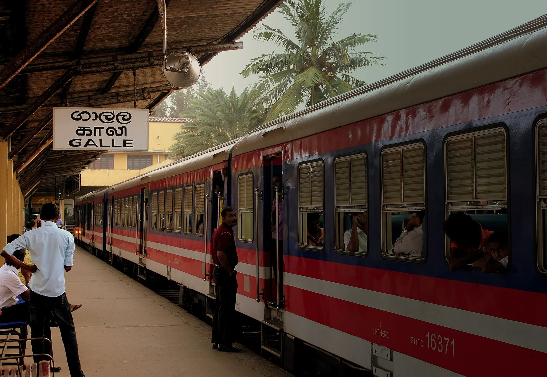
Colombo to Galle by train
Kandy to Ella: Train vs Road
Related guides
All guides
Colombo Airport to Galle and Mirissa
From Bandaranaike International Airport to Galle, Mirissa and the south coast by expressway bus or private car. Official NTC expressway bus fares checked 15 October 2026.
Sri Lanka Monsoon Seasons: Wet Coast, Dry Coast
How Sri Lanka's two monsoons and two inter-monsoons work, which coast is wet when, and how to reroute when the weather does not match your plan. Checked 24 October 2026.
Sri Lanka's Award-Winning Beaches 2026
Four Sri Lankan beaches made Condé Nast Traveller's 2026 Best beaches in Asia top 20: Arugam Bay (1st), Bentota (9th), Tangalle (14th) and Negombo (19th). Scores, best months for each and how to fit them into a trip from the UK, checked 16 October 2026.