Hill Country & Central Highlands
A region for Kandy's sacred heritage, Nuwara Eliya and Horton Plains, Ella-area walks, tea origins and date-sensitive rail planning.
Plan Sri Lanka's hill country by choosing what each base contributes. Kandy is primarily a sacred-city and cultural stop; Nuwara Eliya supports a Horton Plains-led plan; Ella supports Ella-area walks and the Nine Arch Bridge.
Three route anchors
- Kandy: the Sacred City and Temple of the Tooth context.
- Nuwara Eliya: access planning for Horton Plains and World's End.
- Ella: Little Adam's Peak, the Nine Arch Bridge and other locally verified walks.
The Ella or Nuwara Eliya guide compares the latter two by these concrete priorities.
Tea country is wider than one corridor
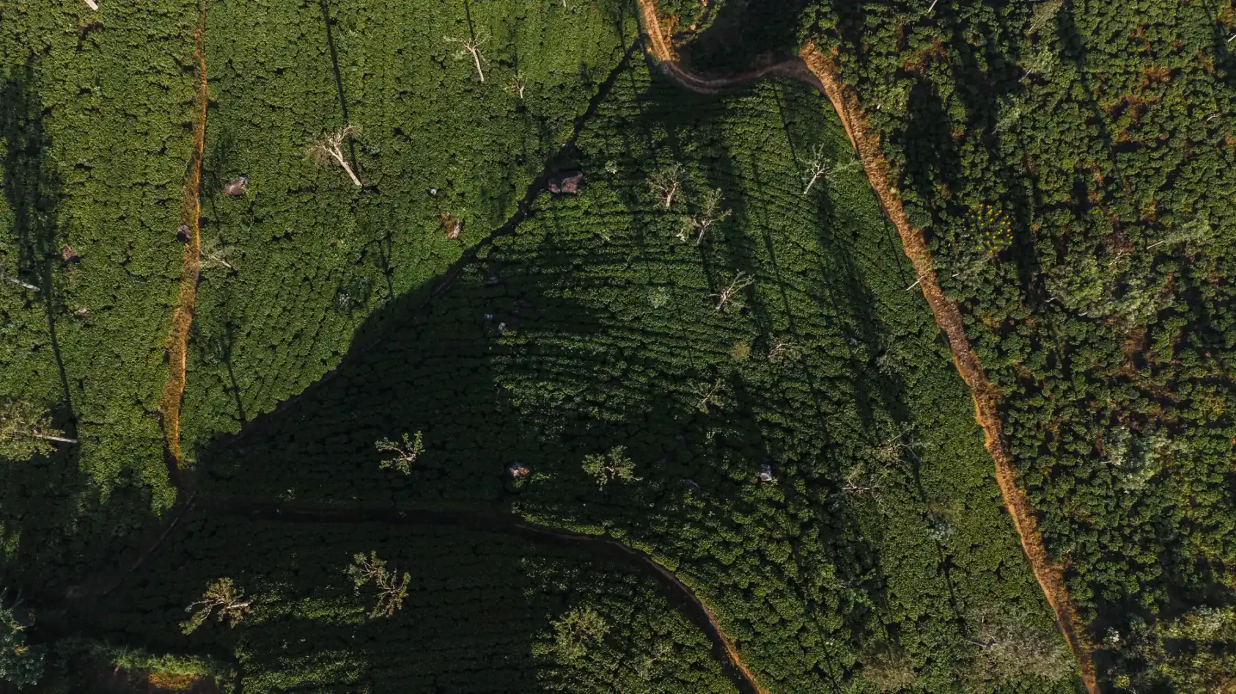
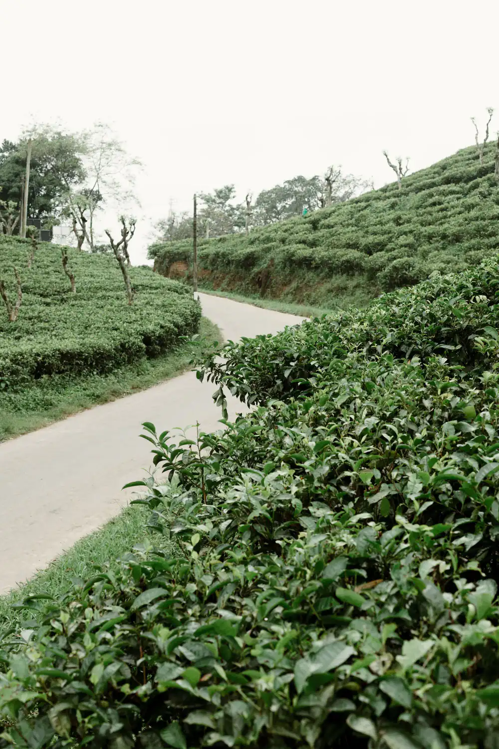
The Sri Lanka Tea Board defines seven tea-growing regions across high-, mid- and low-country areas. Use the tea-country guide to choose an origin and verify what a specific estate, factory or museum visit actually includes.
Rail is optional, not guaranteed
Do not assume a continuous Kandy–Ella service or fixed timetable. Check current Sri Lanka Railways notices and the exact reservation search, then keep a road alternative. The scenic-rail guide and Kandy-to-Ella guide document that evidence boundary.
UNESCO's Central Highlands is a specific serial natural property, not another name for every hill-country town. See Central Highlands of Sri Lanka for the listed property's scope.
Choose the highland experience first
Use Kandy for a sacred-city and transport hub, Hatton for Sri Pada and estate-country routing, Nuwara Eliya for a high-elevation base, or Ella for walks and an onward route. They should not all be automatic stops.
Separate rail scenery from transport reliability
The railway can be part of the experience, but schedules, reservations, station transfers and disruption still matter. Confirm the exact service with Sri Lanka Railways and keep a road fallback when the next booking is inflexible.
For heights and temperatures across the hills, see Ella altitude and hill country heights. For distances to the other regions, see Sri Lanka map, regions and distances.
Prepare for elevation and weather
Rain, mist and temperature can change visibility and trail conditions. Check each protected area or trail independently. The UNESCO Central Highlands property is a conservation designation, not a single visitor entrance.
Flying in and going straight to the hills? Our Colombo airport to Nuwara Eliya and Colombo airport to Ella guides give the airport's fixed taxi fares, road samples and a dated landslide check.
Sources
Last verified 2026-08-28
Bases in Hill Country & Central Highlands
Badulla
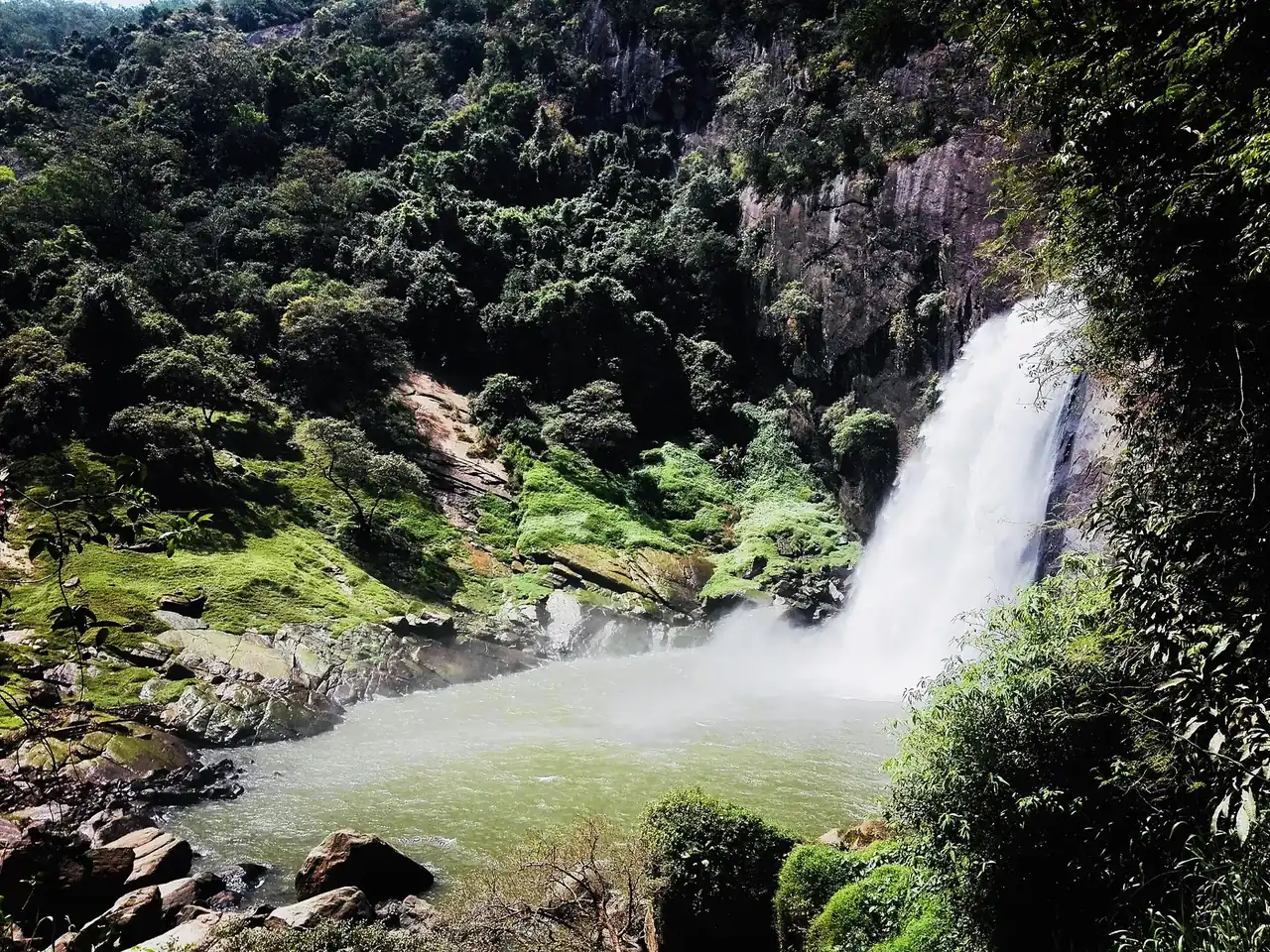
The capital of Uva Province, about 20 km from Ella and the end of Sri Lanka's Main Line railway. Dunhinda Falls, the Muthiyangana temple, the Bogoda wooden bridge and Namunukula, with official bus fares from Colombo, Kandy, the airport and Matara, road times and rain by month. Checked 24 October 2026.
Bandarawela
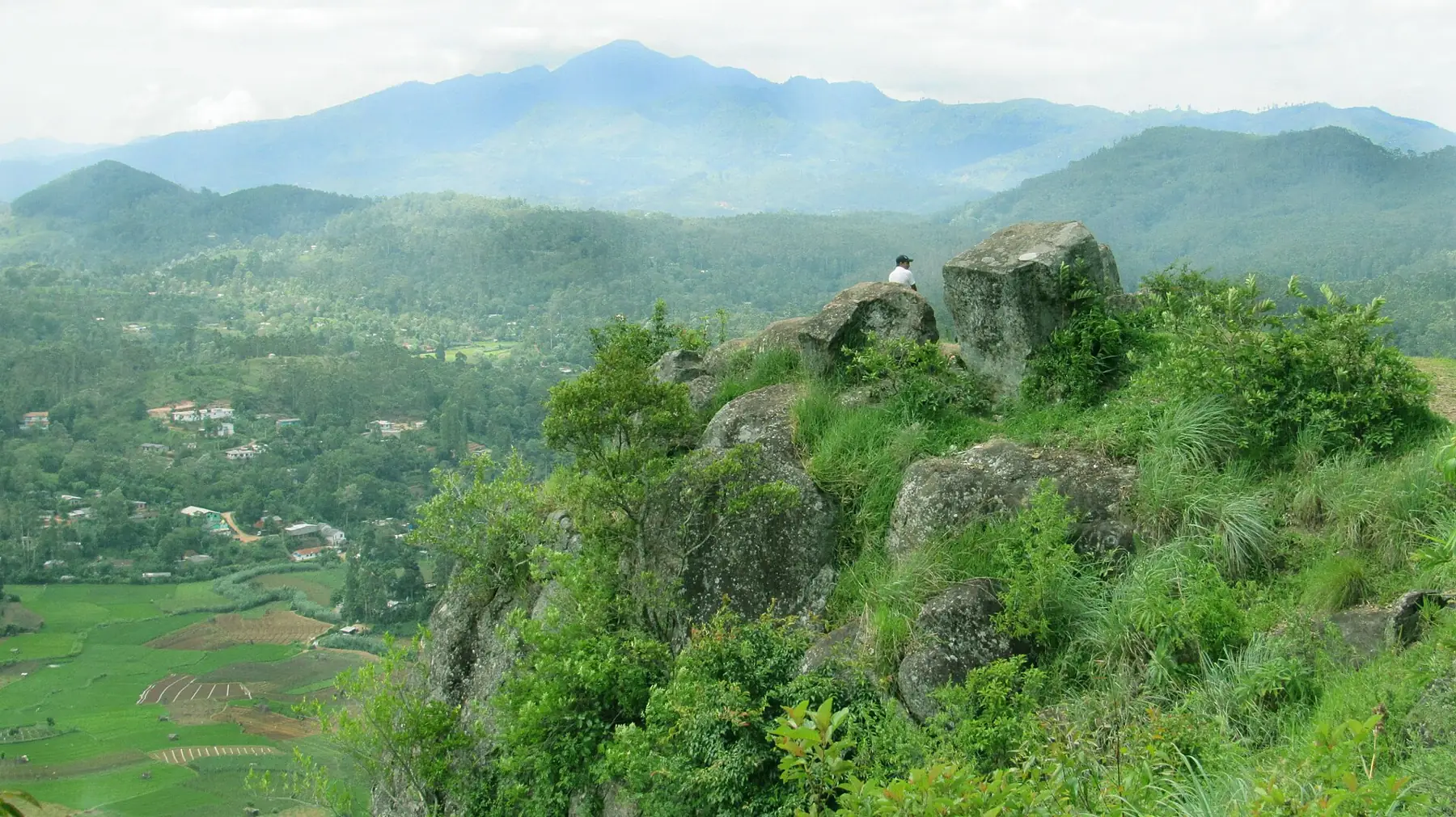
A cool hill town in Uva Province, about 1,230 m up, between Haputale and Ella on the running hill railway. It has its own weather station, which shows June to August as the driest months and October and November as the wettest.
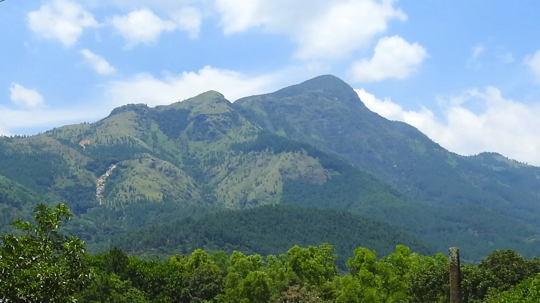
Belihuloya
A small town at about 625 m on the Colombo to Badulla road, between Balangoda and Haputale, known for streams, waterfalls and the Samanala Wewa reservoir. Waterfalls with distances, the Silogama homestay village, bus fares from Colombo, road times, rain by month and landslide warnings. Checked 23 October 2026.
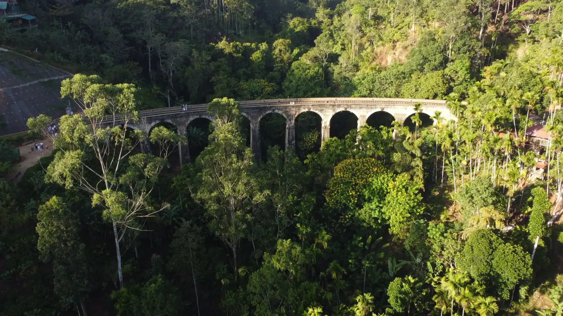
Ella
A Badulla District hill-country base for Ella-area walks, waterfalls and the Nine Arch Bridge, with transport and trail conditions to verify.
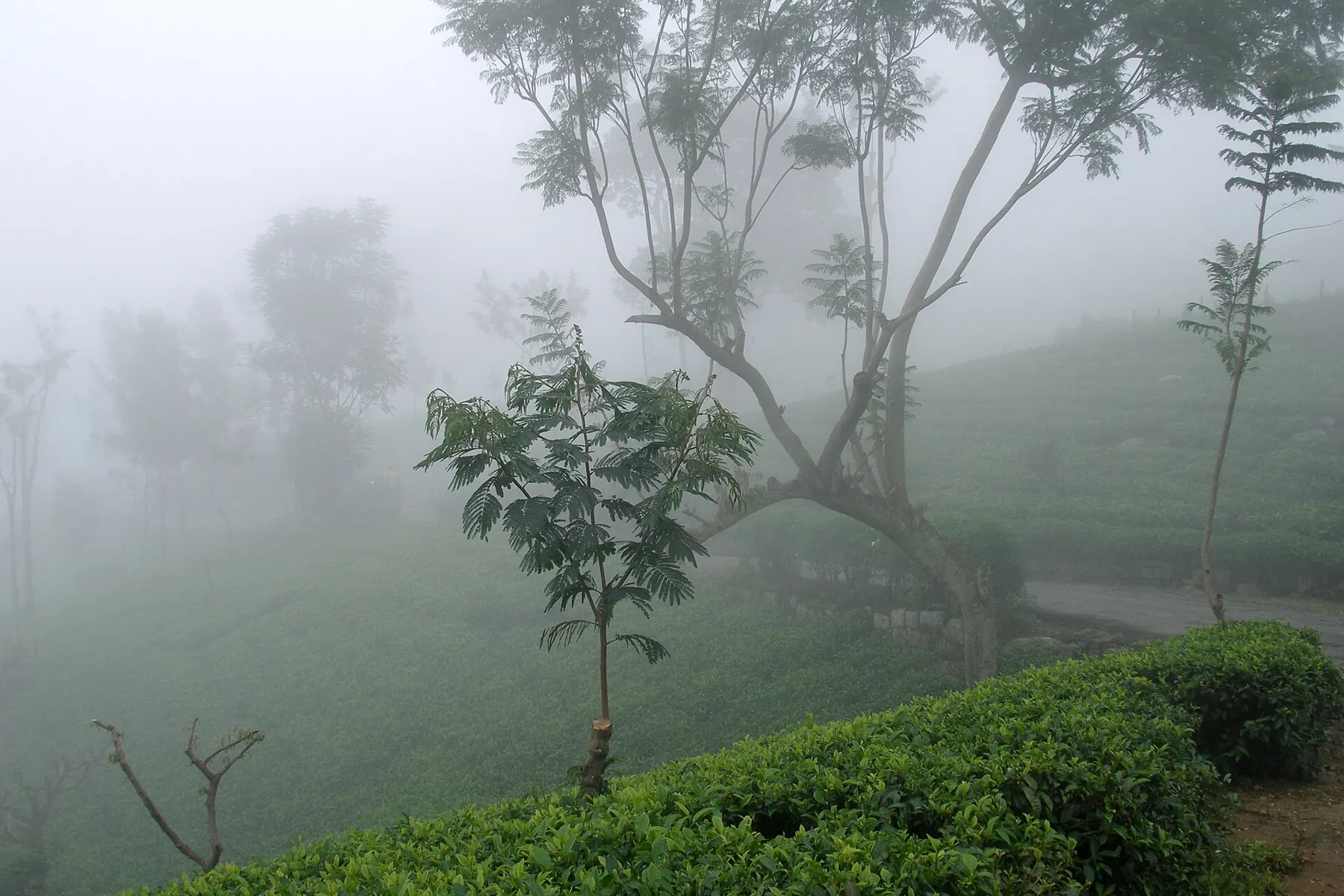
Haputale
A small ridge-top tea town in Uva Province, on the running Nanu Oya to Ella railway. Known for Lipton's Seat, Adisham Bungalow and the Haputale Gap. Driest from June to August; wettest in October and November.
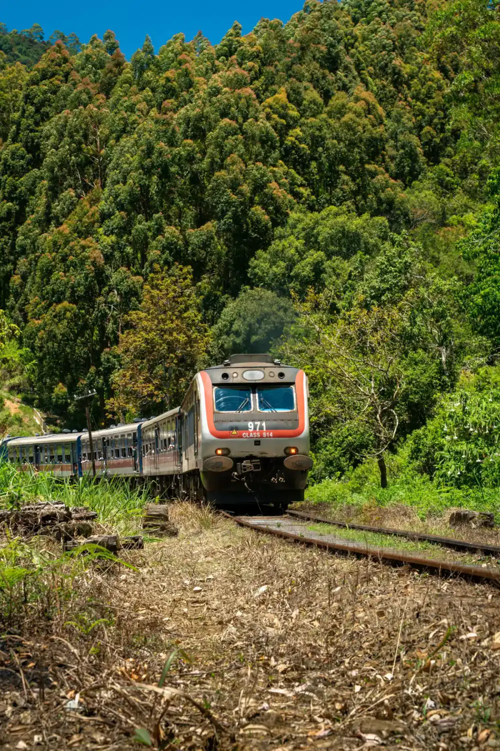
Hatton
A tea-country transport base used for routes toward Sri Pada, with rail and road details requiring current verification.
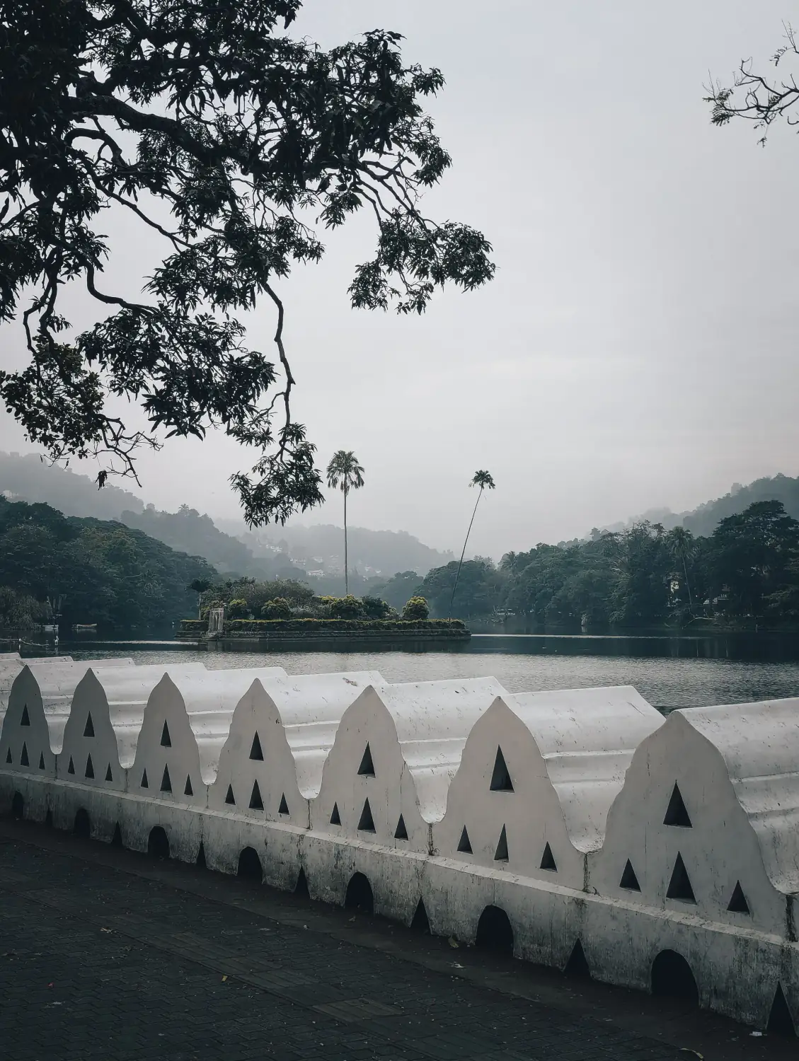
Kandy
A Central Province city whose clearest visitor purpose is the Sacred City of Kandy, the Temple of the Tooth Relic and nearby cultural and natural sites.
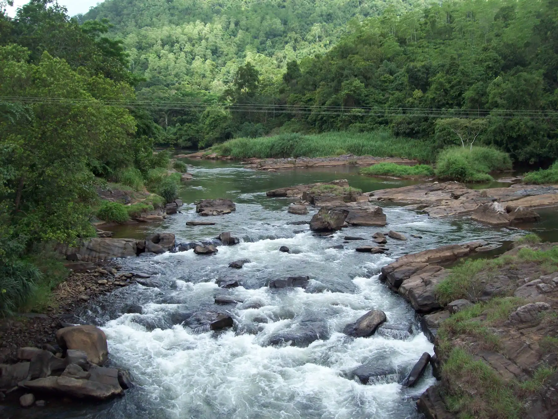
Kitulgala
A riverside village on the Kelani River and the Colombo to Hatton road, known for white-water rafting and the prehistoric Belilena cave. About 88 km by road from Colombo, and a common stop on the way to Hatton, Sri Pada and Nuwara Eliya.
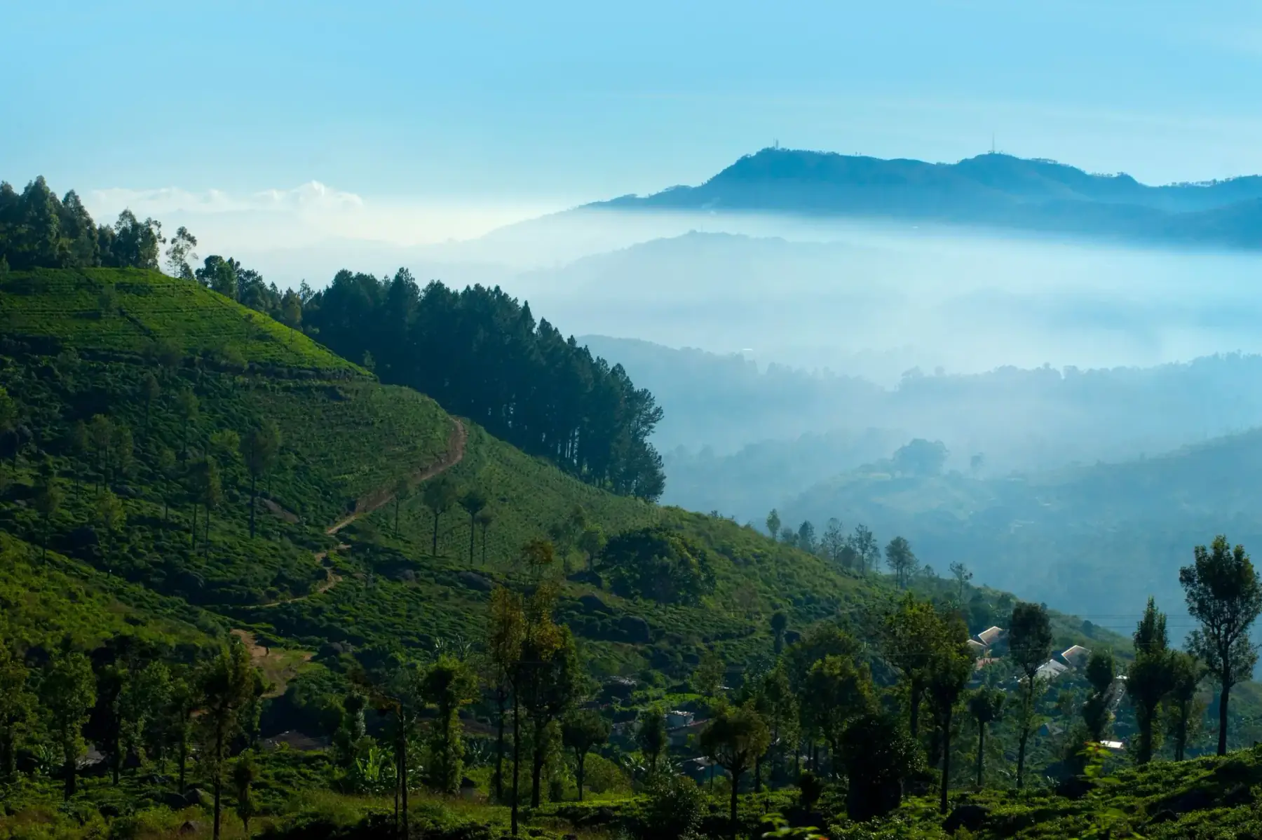
Nuwara Eliya
A hill-country base for tea-region visits and access planning for Horton Plains, distinct from Ella and Kandy.
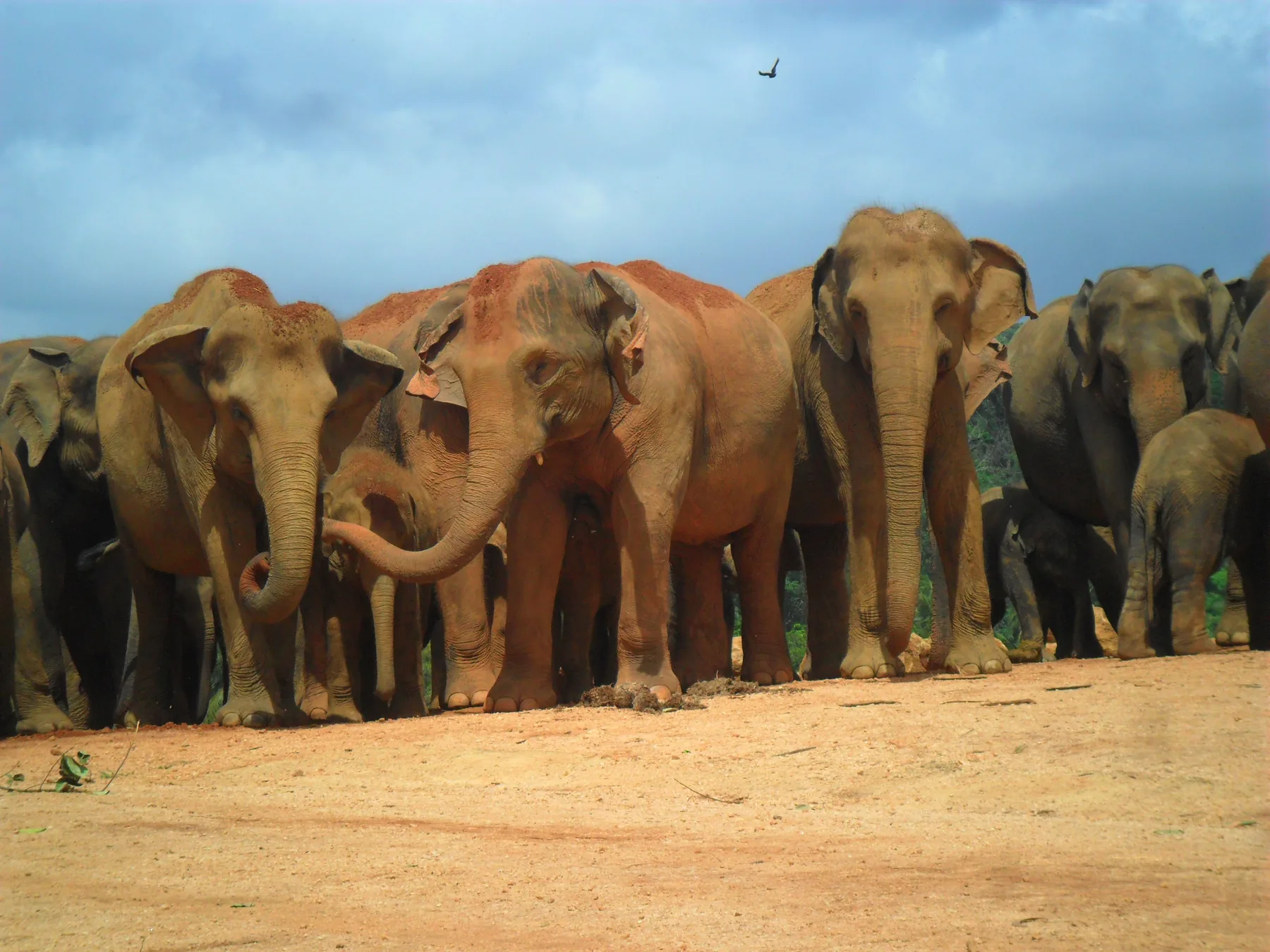
Pinnawala
The village beside the Ma Oya river in Kegalle District that is home to the Pinnawala Elephant Orphanage and Pinnawala Zoo. The official daily herd timetable, so you can be at the river when the elephants bathe, ticket prices, paid activities, the combined zoo ticket, and road and bus links from Colombo, the airport and Kandy. Checked 26 October 2026.
Ratnapura
A gem-industry centre and route base for selected Sabaragamuwa journeys, with licensed trade and site access requiring verification.
Places in Hill Country & Central Highlands
Sri Pada (Adam's Peak)
A demanding mountain pilgrimage known as Sri Pada, with current route, season and worship arrangements requiring local verification.
Central Highlands of Sri Lanka
A serial UNESCO World Heritage property comprising Peak Wilderness, Horton Plains and Knuckles Conservation Forest.
Horton Plains National Park
A component of the UNESCO-listed Central Highlands and the protected setting for the walk to World's End.
Little Adam's Peak
A town-edge hill walk near Ella whose route, access, weather and physical demands should be checked currently.
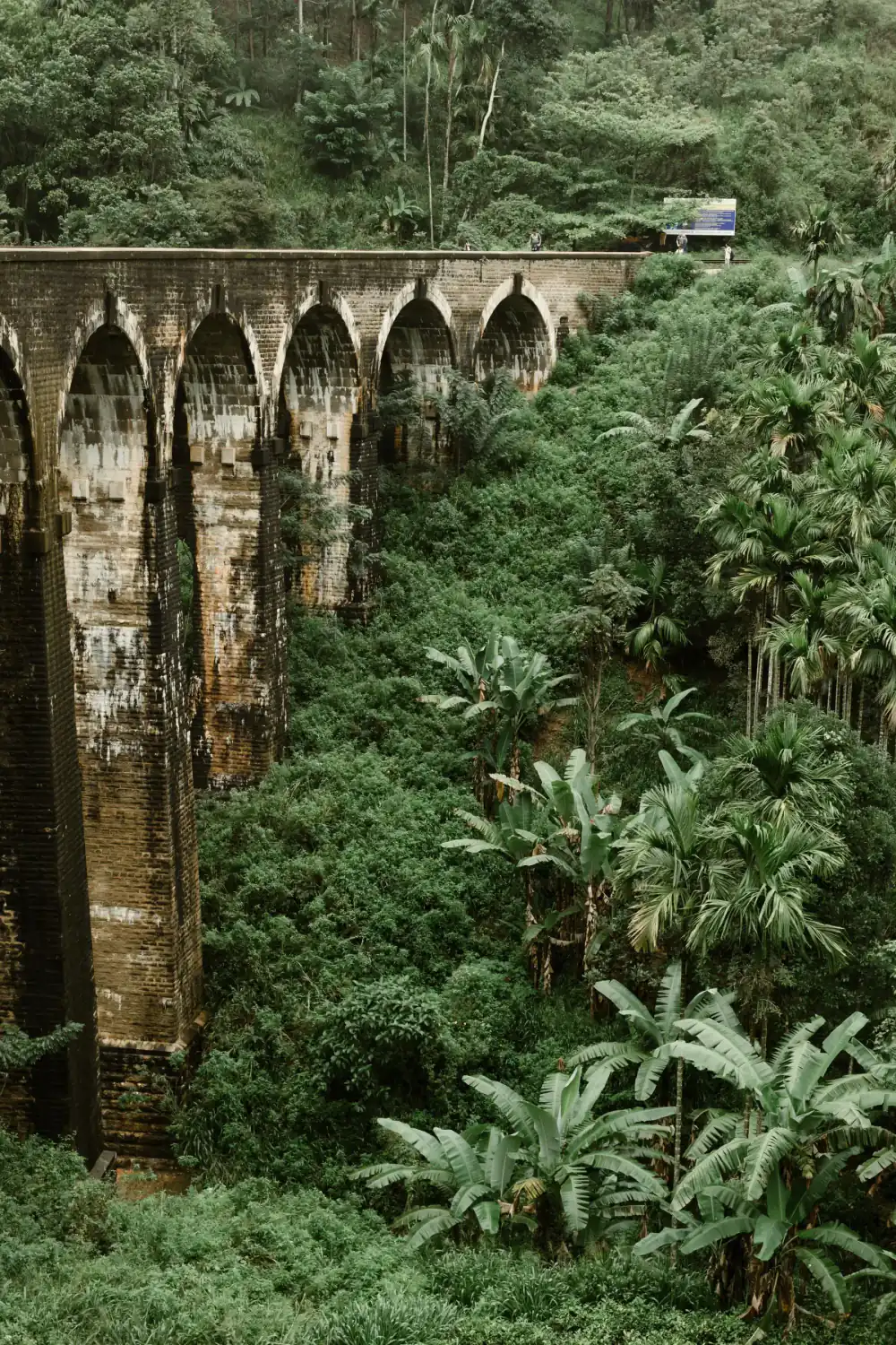
Nine Arch Bridge
An operating railway bridge near Ella that must be viewed without entering the track or relying on an exact crossing time.
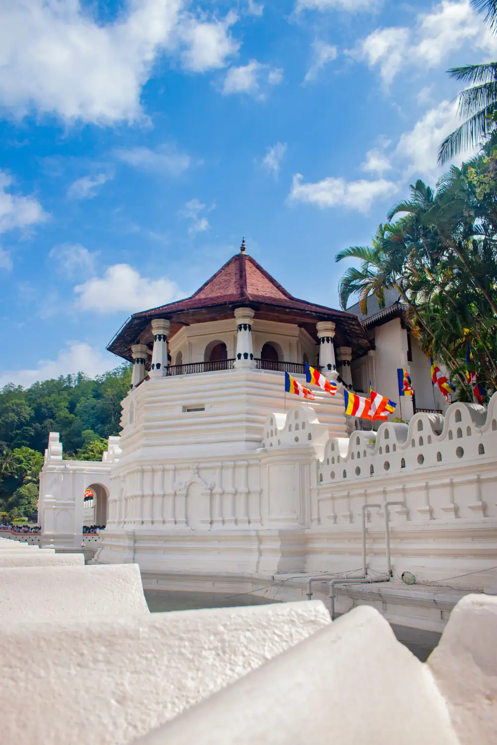
Sacred City of Kandy
The UNESCO-listed sacred city of Sri Lanka's last Sinhala royal capital, centred on the Temple of the Sacred Tooth Relic.
Temple of the Sacred Tooth Relic
An active Buddhist place of worship in Kandy that enshrines the Sacred Tooth Relic and anchors the UNESCO-listed sacred city.