Matale
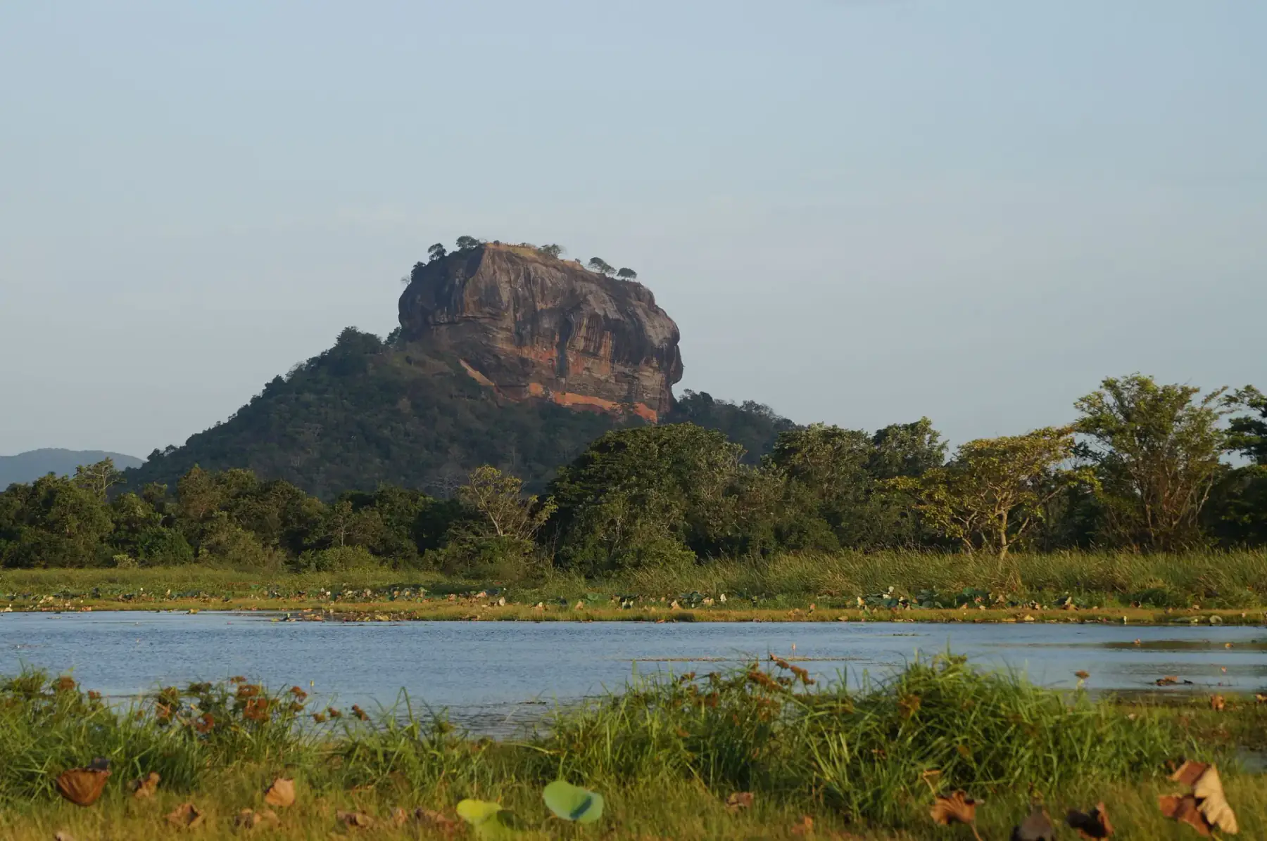
Sigiriya
A Matale District base whose clearest purpose is planning a visit to the UNESCO-listed Ancient City of Sigiriya.
Compare 20 towns and cities as possible bases for a Sri Lanka trip. Each destination is grouped by region and linked to nearby places and experiences.
A heritage-planning region connecting Anuradhapura, Polonnaruwa, Sigiriya and Dambulla, each with a distinct World Heritage and sacred-site role.
A Matale District base whose clearest purpose is planning a visit to the UNESCO-listed Ancient City of Sigiriya.
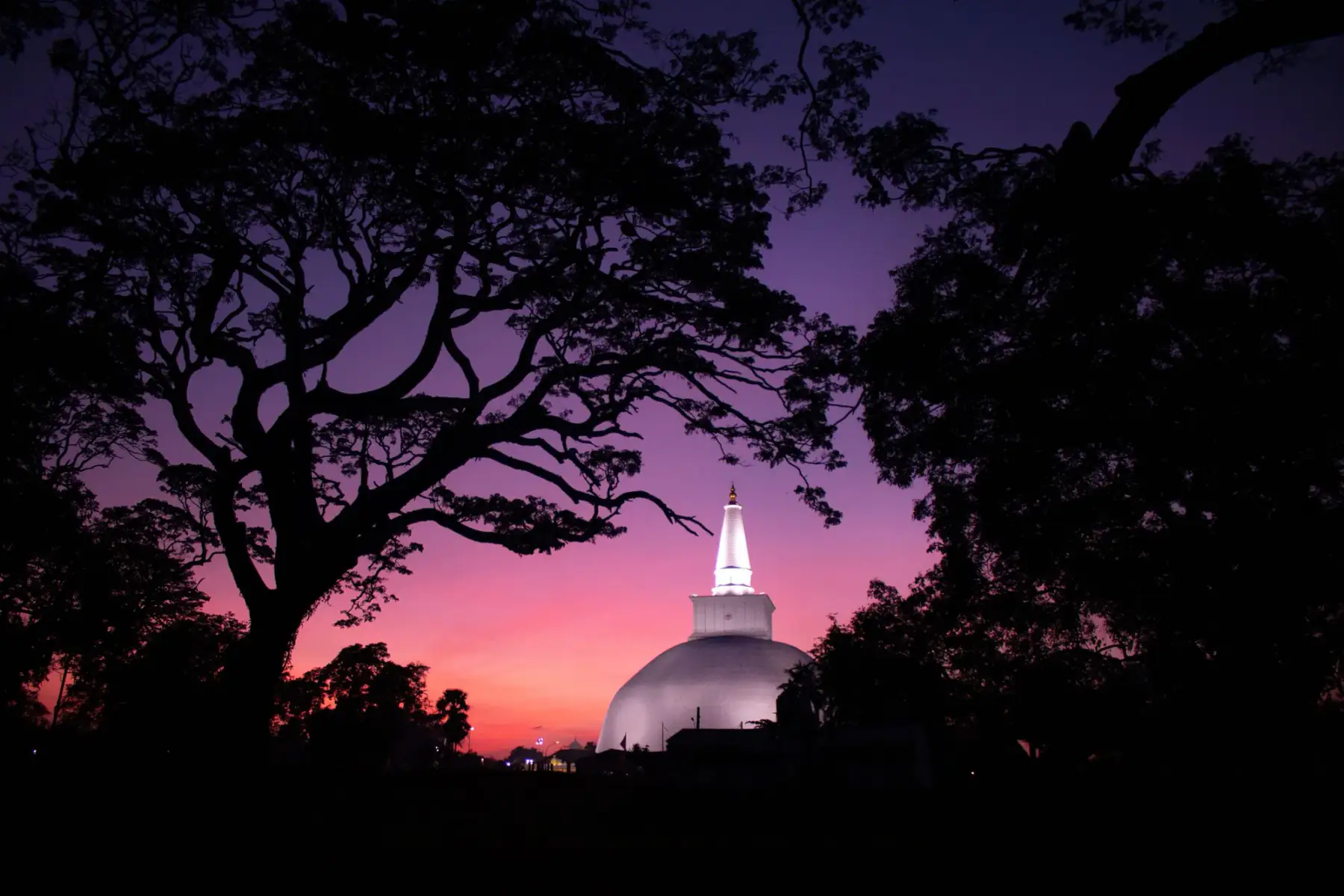
A large UNESCO-listed sacred city where archaeological remains and active Buddhist pilgrimage places share one landscape.
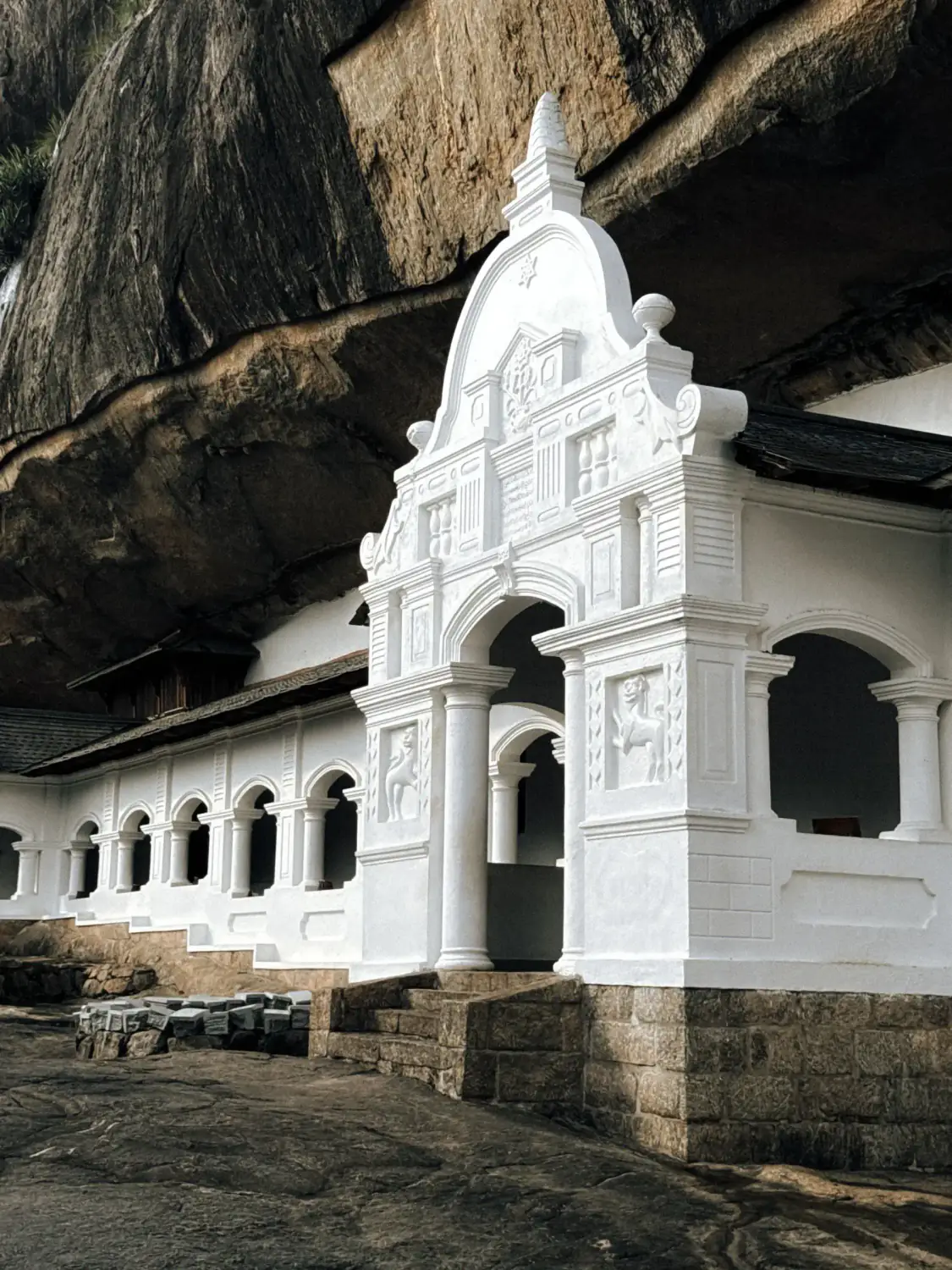
A Cultural Triangle base in Matale District built around the UNESCO-listed Rangiri Dambulla Cave Temple, about 15 km from Sigiriya in a straight line. What to do, day trips with official ticket prices, and when to go, checked 14 October 2026.
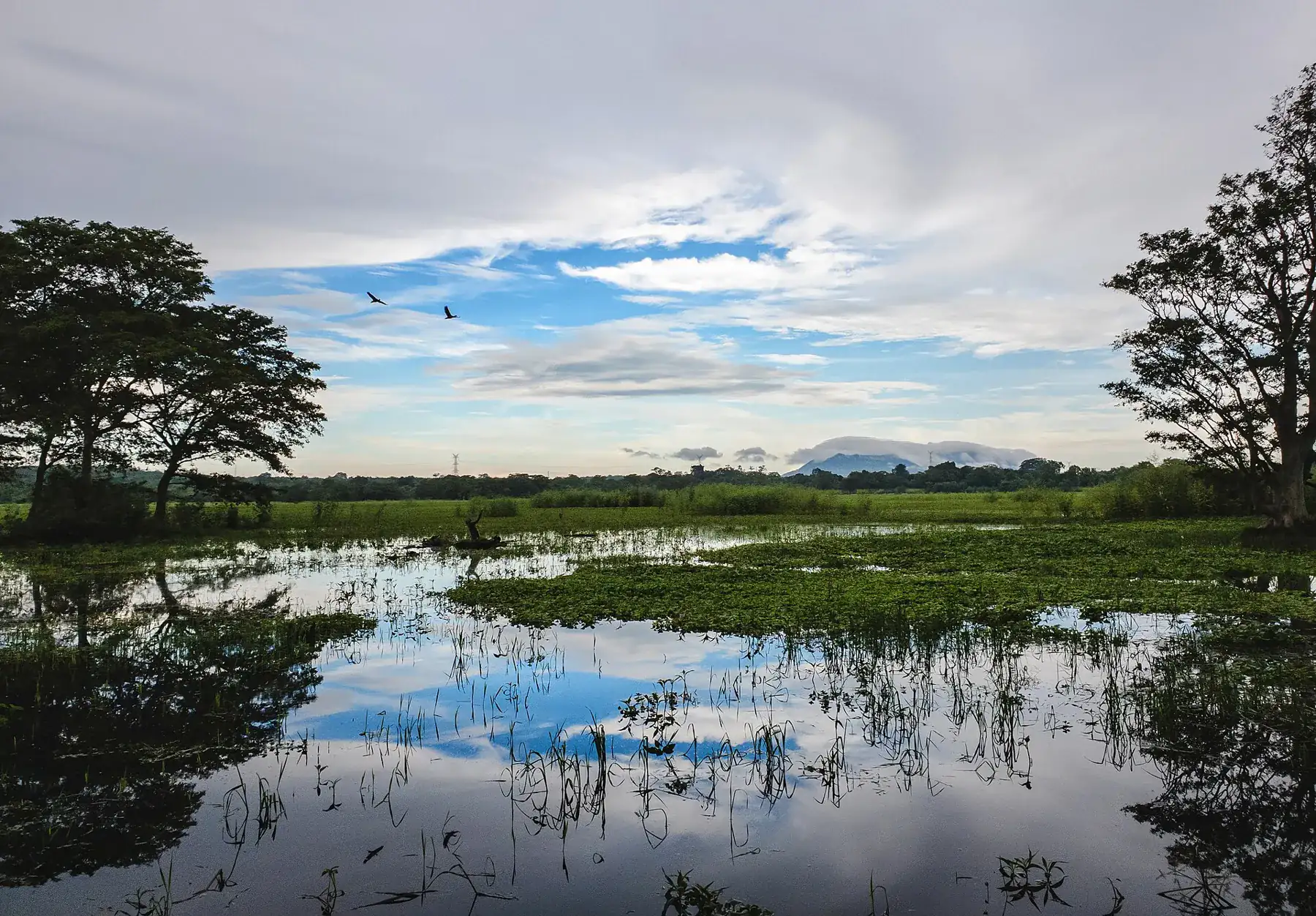
A crossroads town in the dry zone, about 12 km by road from Sigiriya and 44 km from Polonnaruwa, a handy base for the Cultural Triangle and safaris in Minneriya and Kaudulla. Distances, train fare, site prices and the best months, checked 20 October 2026.
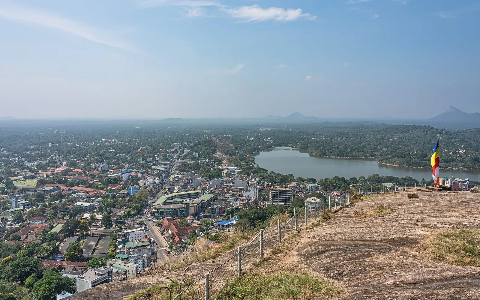
The capital of North Western Province and a 14th-century royal city ringed by granite rocks. Athugala (Elephant Rock) and its 88 ft Buddha, Kurunegala Lake, Ridi Viharaya, Yapahuwa and Dambadeniya, with official bus fares to Colombo, the airport, Kandy, Dambulla and Sigiriya, road times and rain by month. Checked 25 October 2026.
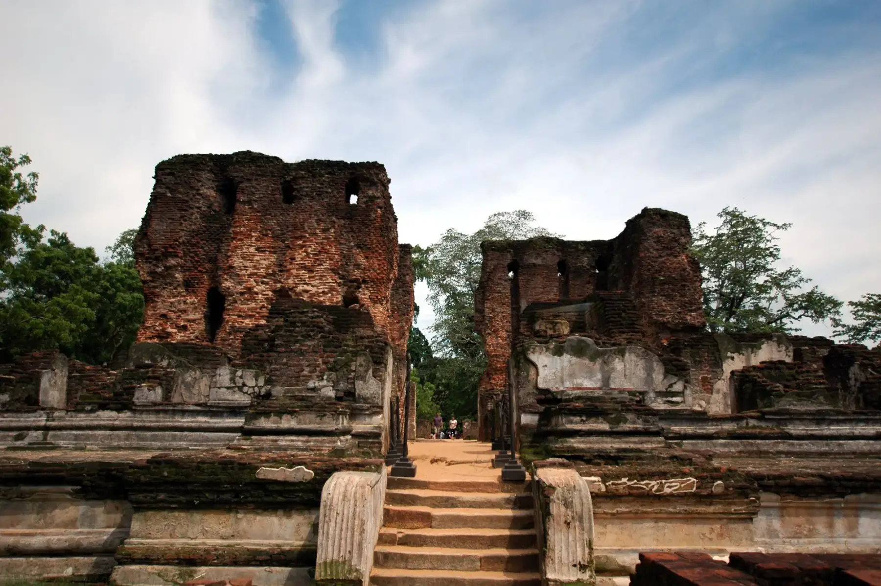
A modern town beside the UNESCO-listed Ancient City of Polonnaruwa, suited to a focused archaeological stop.
A region for Kandy's sacred heritage, Nuwara Eliya and Horton Plains, Ella-area walks, tea origins and date-sensitive rail planning.
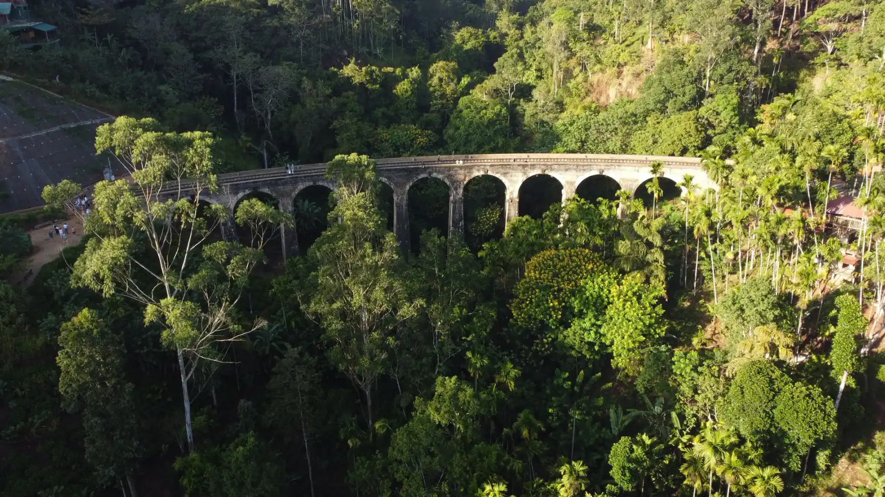
A Badulla District hill-country base for Ella-area walks, waterfalls and the Nine Arch Bridge, with transport and trail conditions to verify.
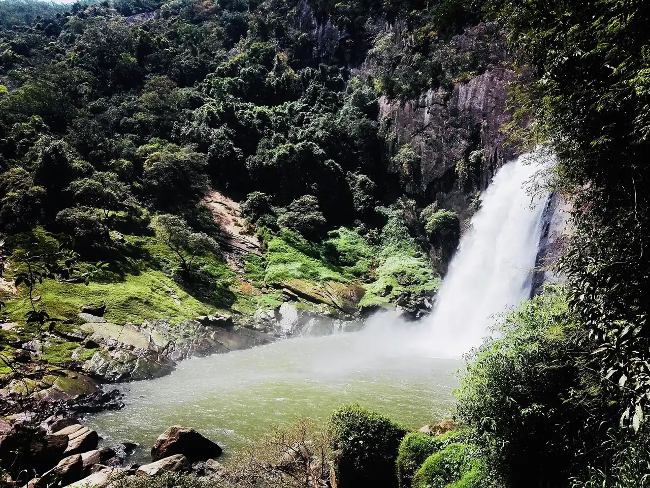
The capital of Uva Province, about 20 km from Ella and the end of Sri Lanka's Main Line railway. Dunhinda Falls, the Muthiyangana temple, the Bogoda wooden bridge and Namunukula, with official bus fares from Colombo, Kandy, the airport and Matara, road times and rain by month. Checked 24 October 2026.
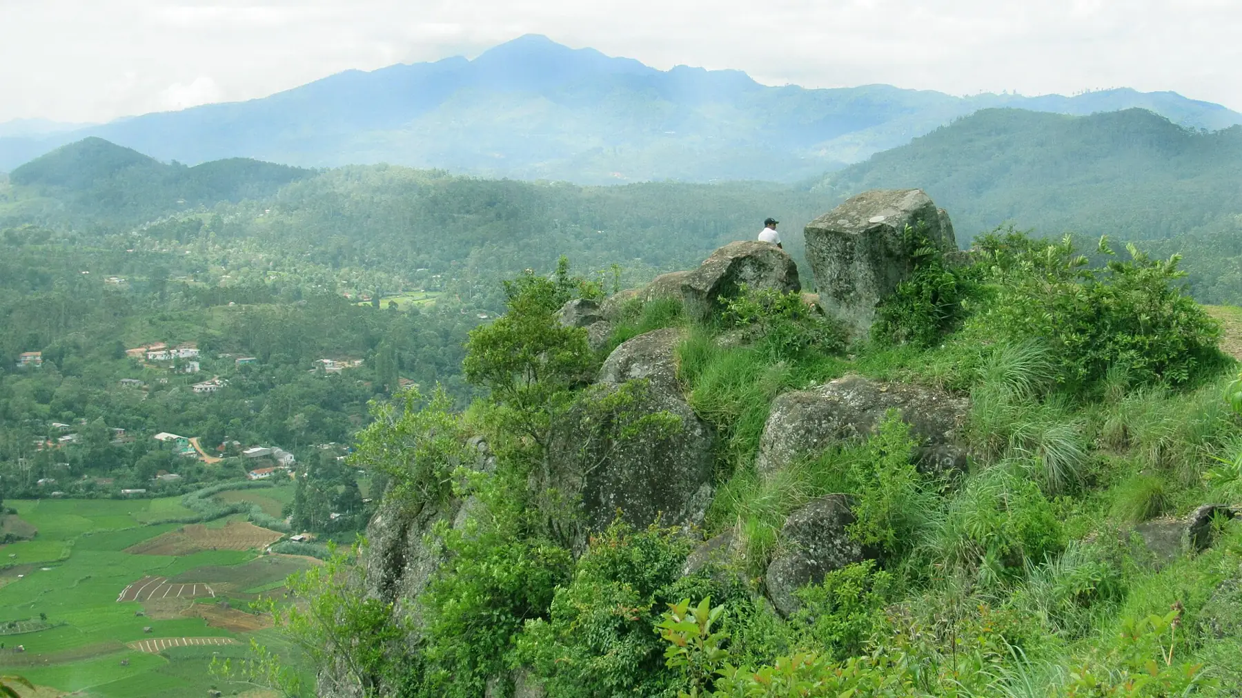
A cool hill town in Uva Province, about 1,230 m up, between Haputale and Ella on the running hill railway. It has its own weather station, which shows June to August as the driest months and October and November as the wettest.
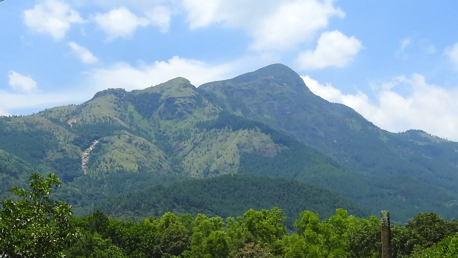
A small town at about 625 m on the Colombo to Badulla road, between Balangoda and Haputale, known for streams, waterfalls and the Samanala Wewa reservoir. Waterfalls with distances, the Silogama homestay village, bus fares from Colombo, road times, rain by month and landslide warnings. Checked 23 October 2026.
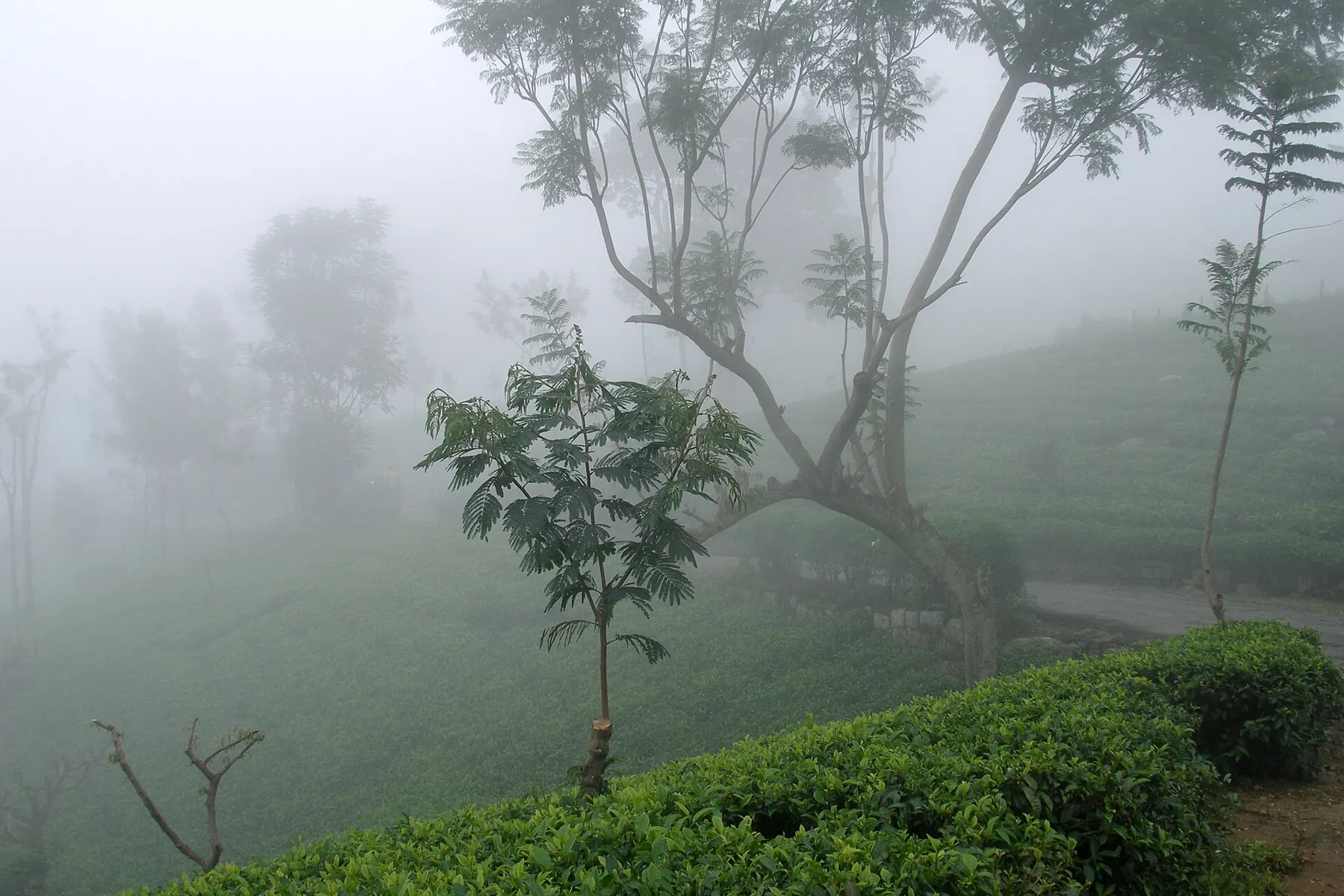
A small ridge-top tea town in Uva Province, on the running Nanu Oya to Ella railway. Known for Lipton's Seat, Adisham Bungalow and the Haputale Gap. Driest from June to August; wettest in October and November.
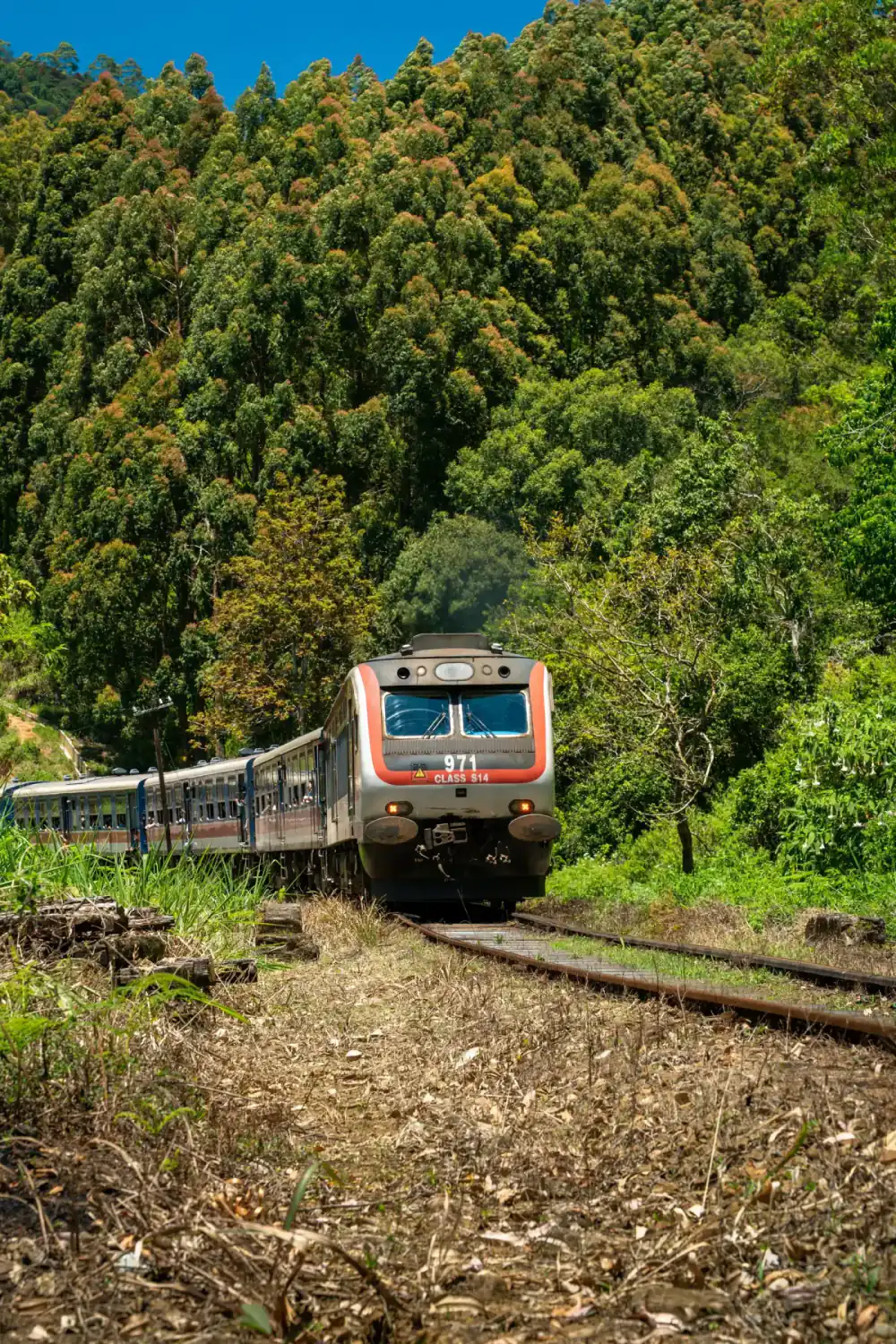
A tea-country transport base used for routes toward Sri Pada, with rail and road details requiring current verification.
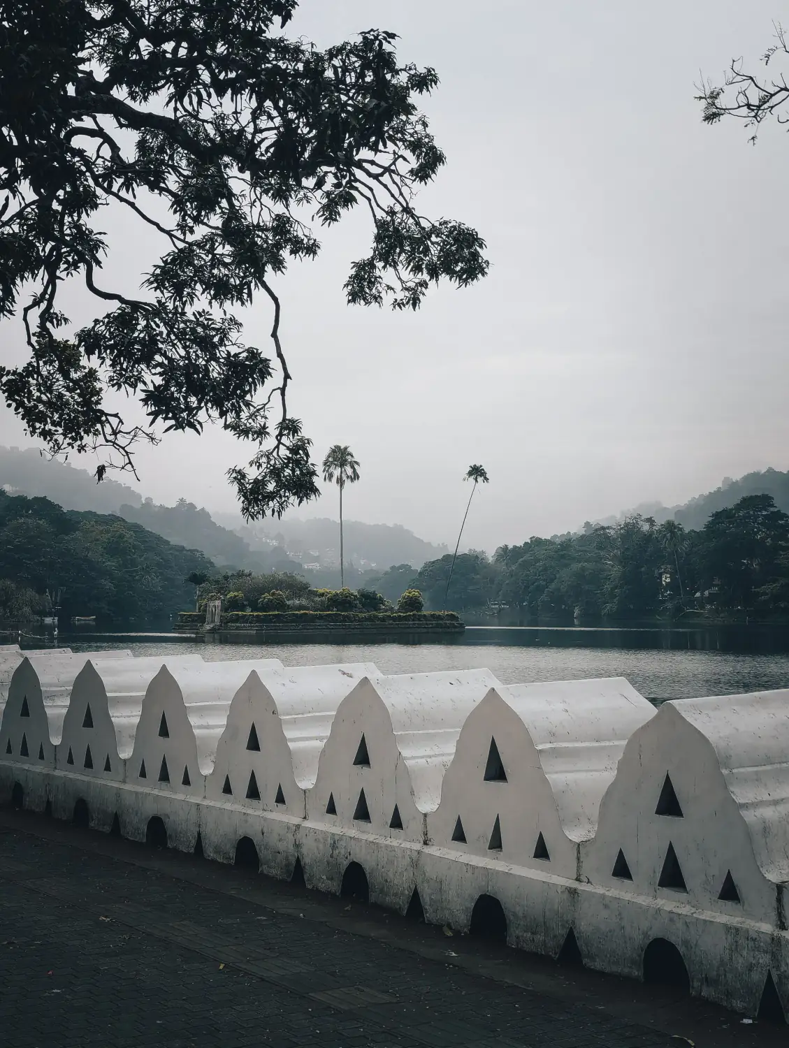
A Central Province city whose clearest visitor purpose is the Sacred City of Kandy, the Temple of the Tooth Relic and nearby cultural and natural sites.
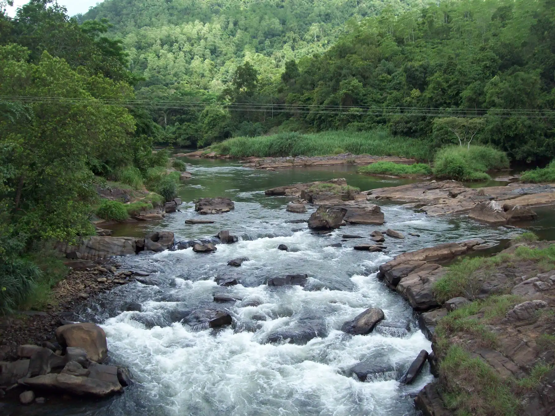
A riverside village on the Kelani River and the Colombo to Hatton road, known for white-water rafting and the prehistoric Belilena cave. About 88 km by road from Colombo, and a common stop on the way to Hatton, Sri Pada and Nuwara Eliya.
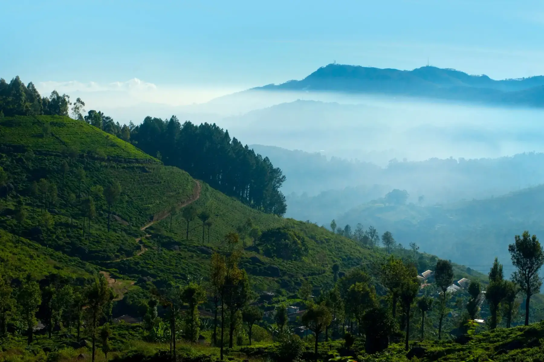
A hill-country base for tea-region visits and access planning for Horton Plains, distinct from Ella and Kandy.
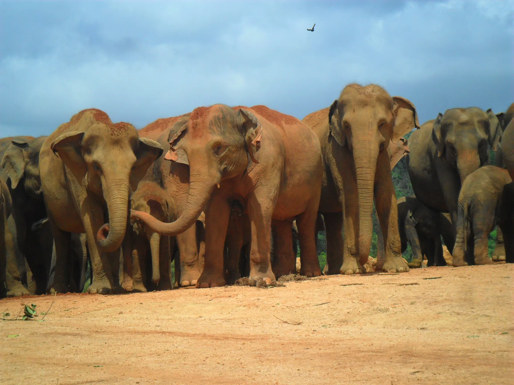
The village beside the Ma Oya river in Kegalle District that is home to the Pinnawala Elephant Orphanage and Pinnawala Zoo. The official daily herd timetable, so you can be at the river when the elephants bathe, ticket prices, paid activities, the combined zoo ticket, and road and bus links from Colombo, the airport and Kandy. Checked 26 October 2026.
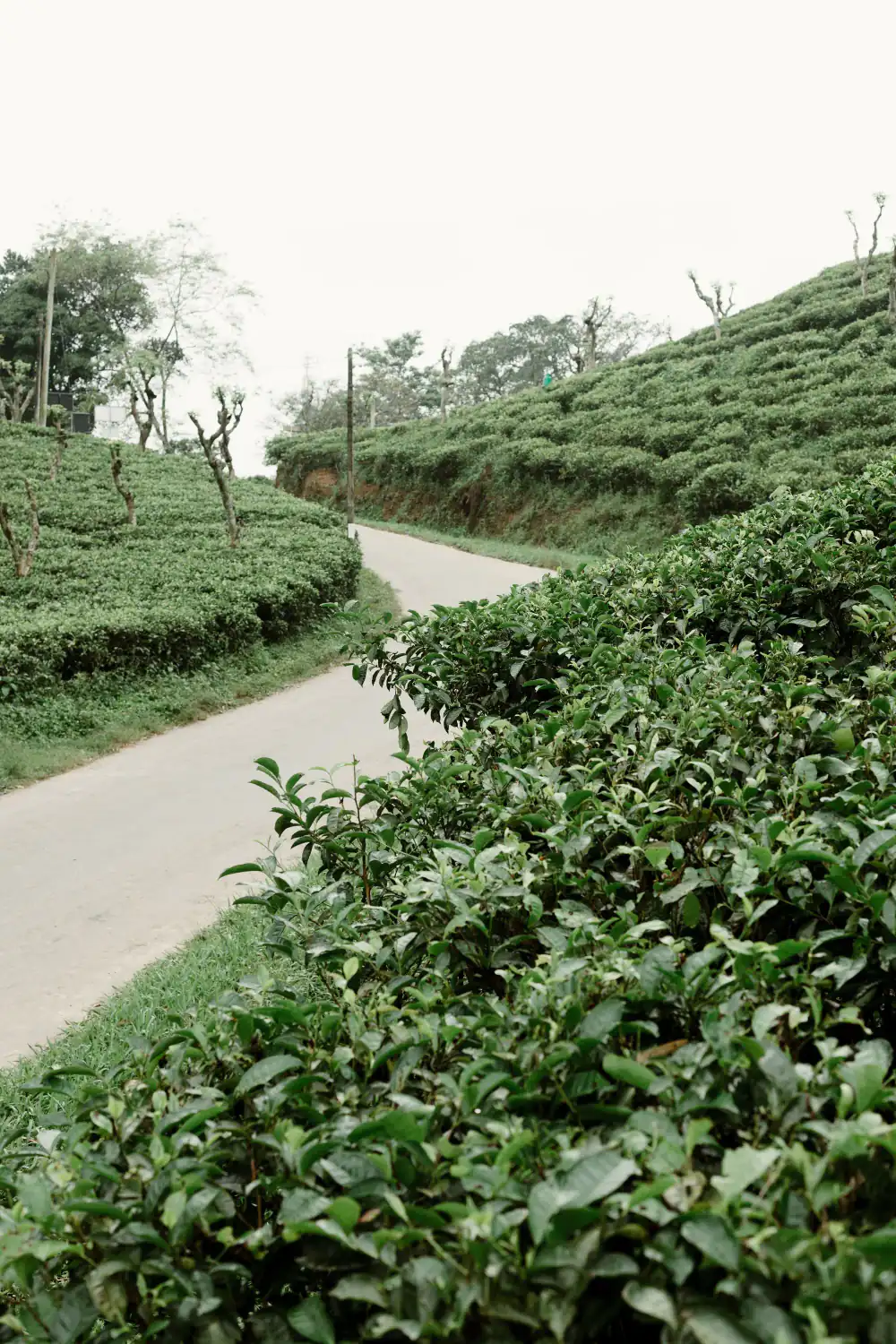
A gem-industry centre and route base for selected Sabaragamuwa journeys, with licensed trade and site access requiring verification.
Sri Lanka's south coast from Galle to Tangalle, compared town by town: who each beach town suits, how to get there and when to go. Checked 14 October 2026.
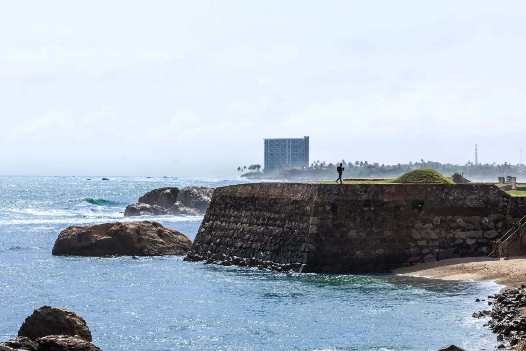
A south-coast city anchored by the UNESCO-listed Old Town of Galle and its Fortifications, distinct from a wider beach-route stop.
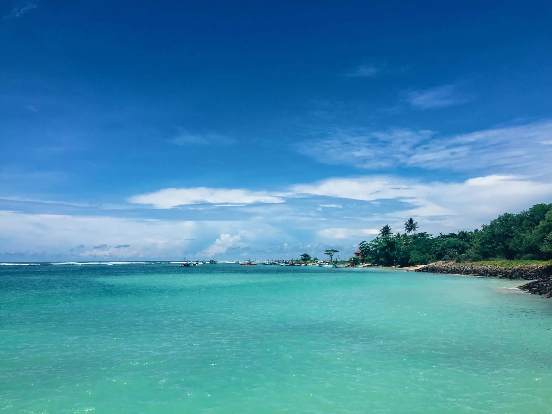
A surf village between Galle and Weligama. Sampled surf lesson prices from three schools, four dated room prices from the properties' own pages, train fares and when to go, checked 17 October 2026.
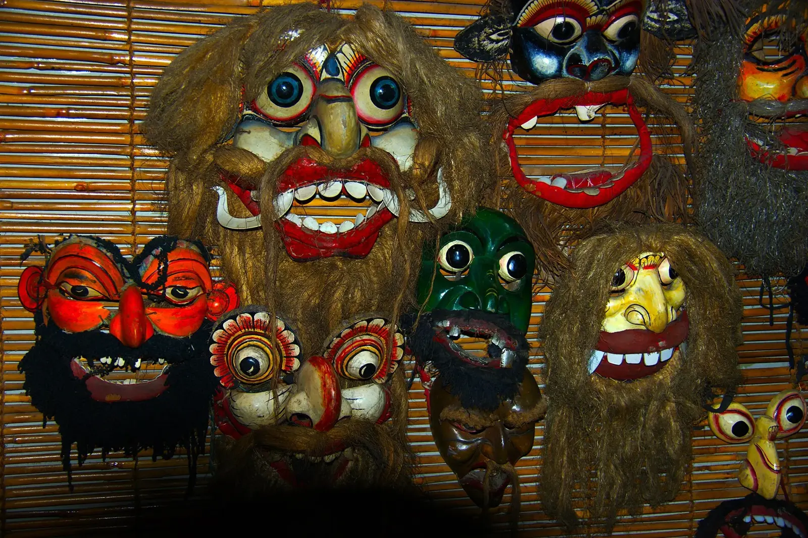
A coast town between Bentota and Hikkaduwa, known for its carved wooden masks. The three mask types, where to see them being made, train fares from Colombo, road times and the drier months, checked 22 October 2026.
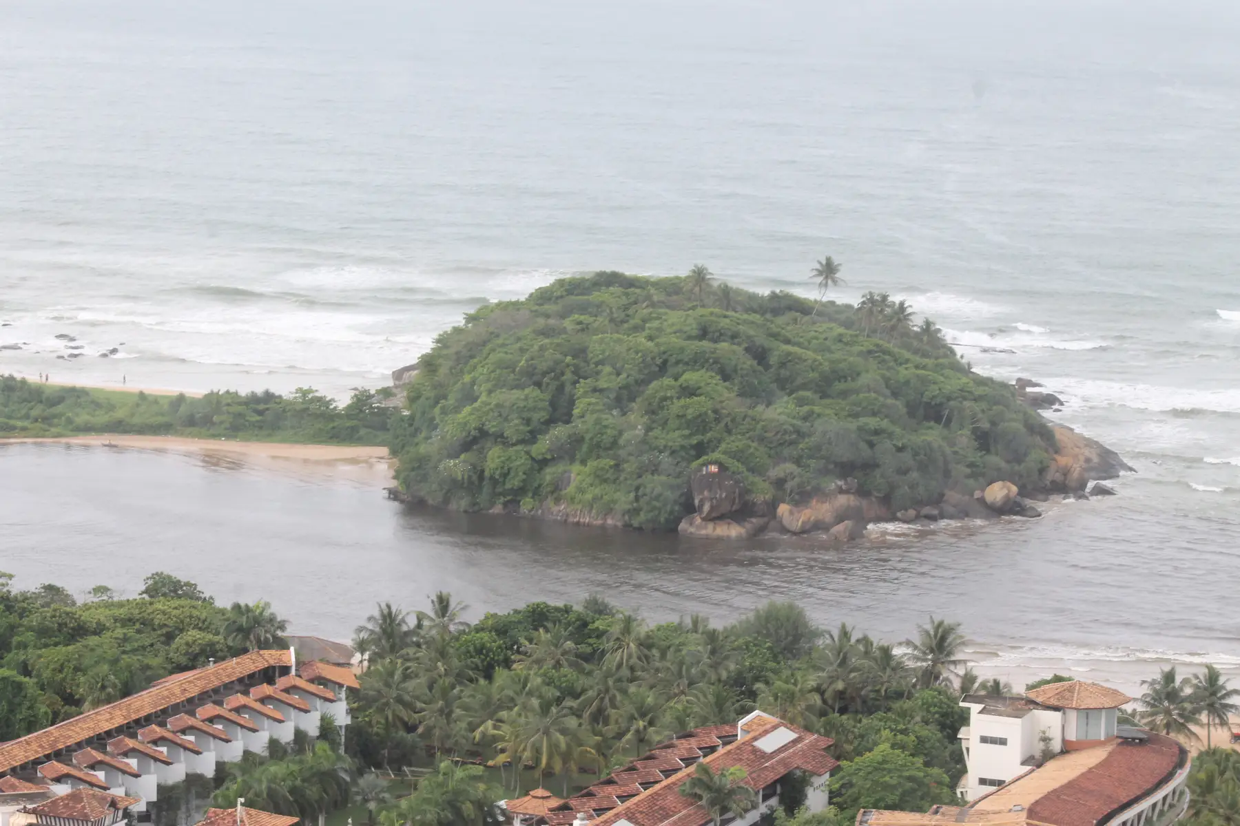
A river-mouth beach town about 61 km south of Colombo Fort by rail, ranked 9th in Condé Nast Traveller's 2026 best beaches in Asia. Train fares, the Lunuganga garden tour price and when to go, checked 17 October 2026.
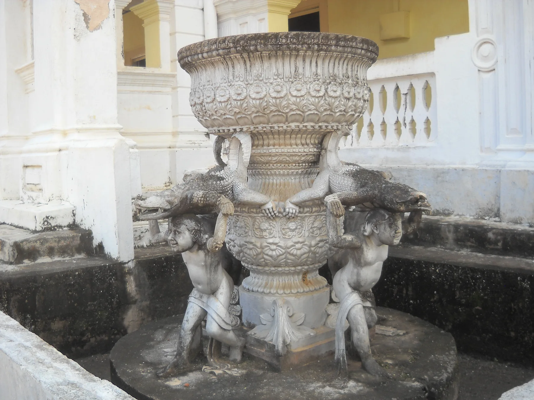
The south coast town between Matara and Tangalle that most visitors know as the gateway to Hiriketiya. What is in and around Dickwella itself: the Hummanaya blowhole, which the Southern Province tourism board calls the second largest in the world, the Wewurukannala temple and its 50 m Buddha, road times to Hiriketiya, Mirissa, Tangalle and Colombo, bus fares and tuk-tuk benchmarks. Checked 26 October 2026.
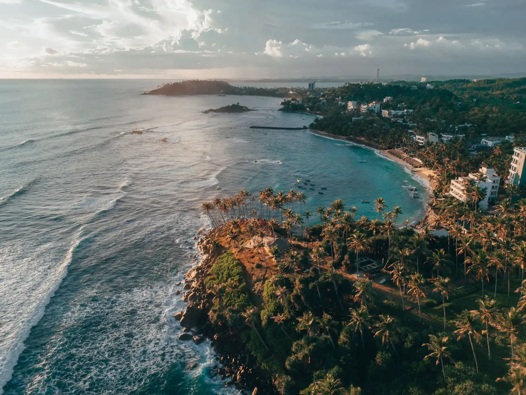
A south-coast beach town known for its reef and surf breaks, on the west side of the South Coast region closer to Galle than to Mirissa.
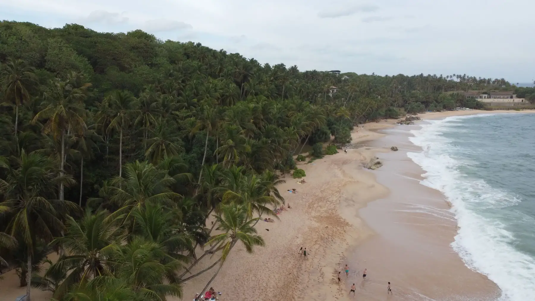
A small horseshoe surf bay at Dikwella in Matara District on Sri Lanka's south coast. Beginner beach break and left reef in one bay, with Dickwella folded into the same stay.
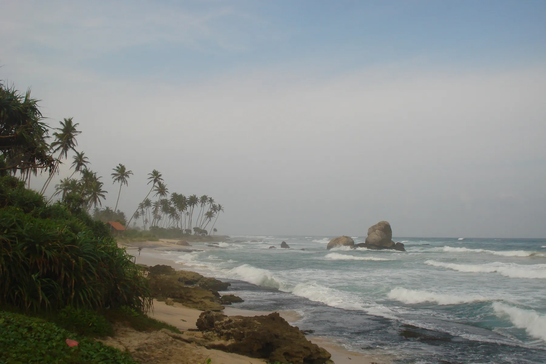
A quiet beach and lake area a few kilometres east of Galle, known for stilt fishing, boat trips to Madol Duwa island and the Martin Wickramasinghe Folk Museum. Best from about December to March; wettest in May and October.
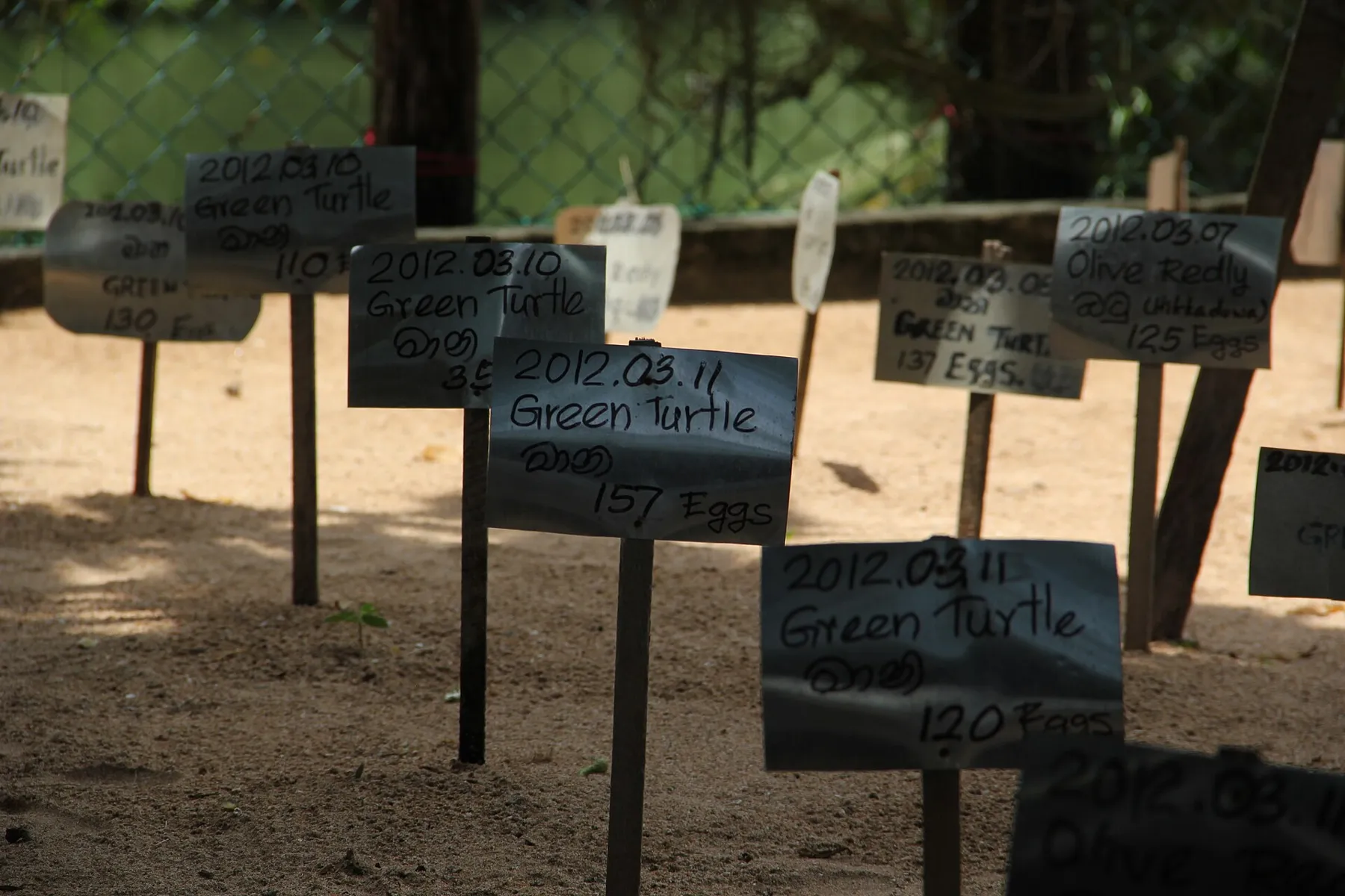
Two quiet beach villages just south of Bentota. The Kosgoda Sea Turtle Conservation Project's hours and release time, train fares to Induruwa and Kosgoda, road times and the best months, checked 22 October 2026.
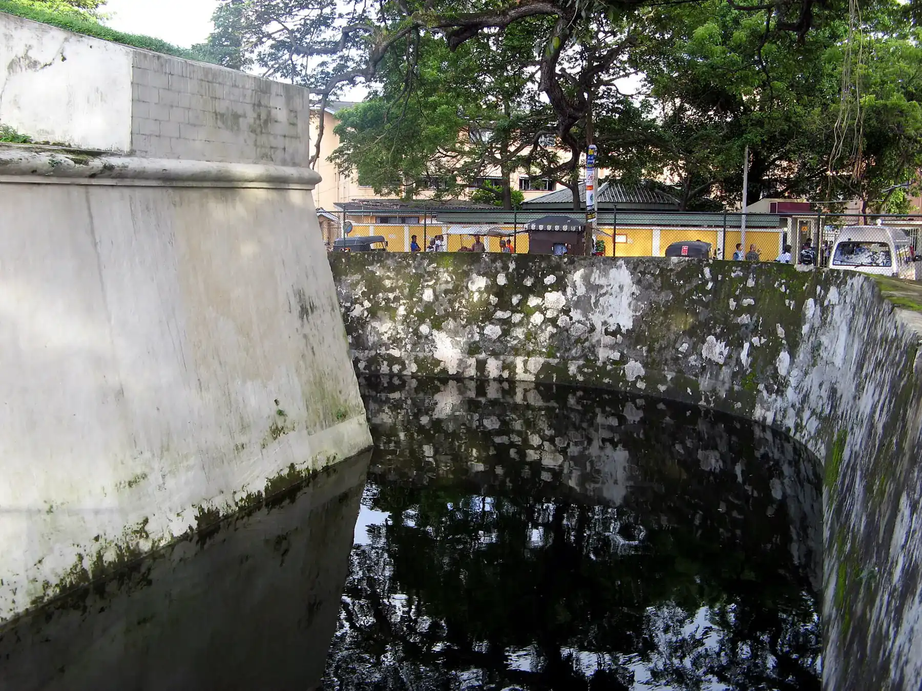
A south coast city 8 km by road from Mirissa, with a Dutch Star Fort built between 1763 and 1765 that now holds a Department of Archaeology museum, and the Devinuwara lighthouse nearby. Train fares, distances and the best months, checked 20 October 2026.
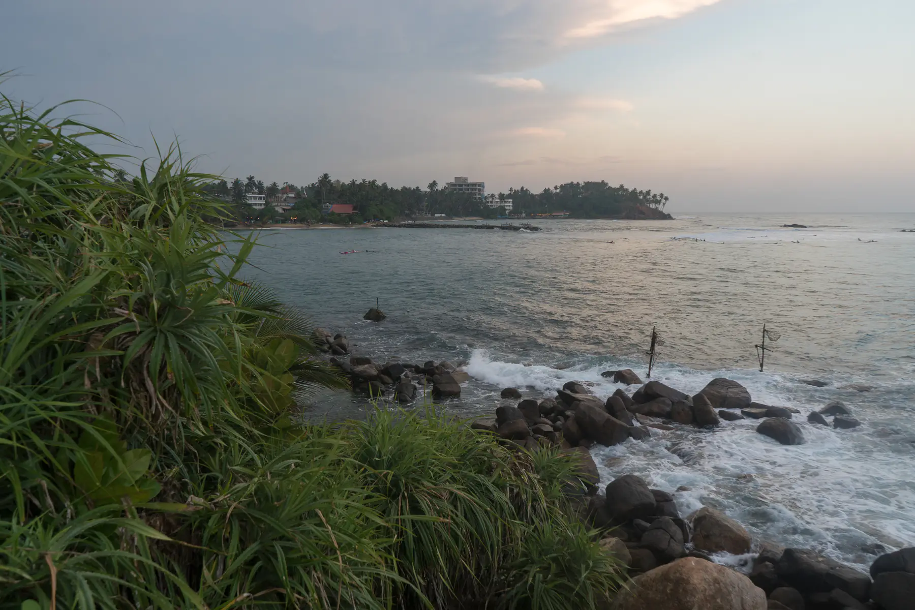
A south-coast beach town and Sri Lanka's best-known whale-watching harbour. Beach, boat-trip prices and season, checked 14 October 2026.
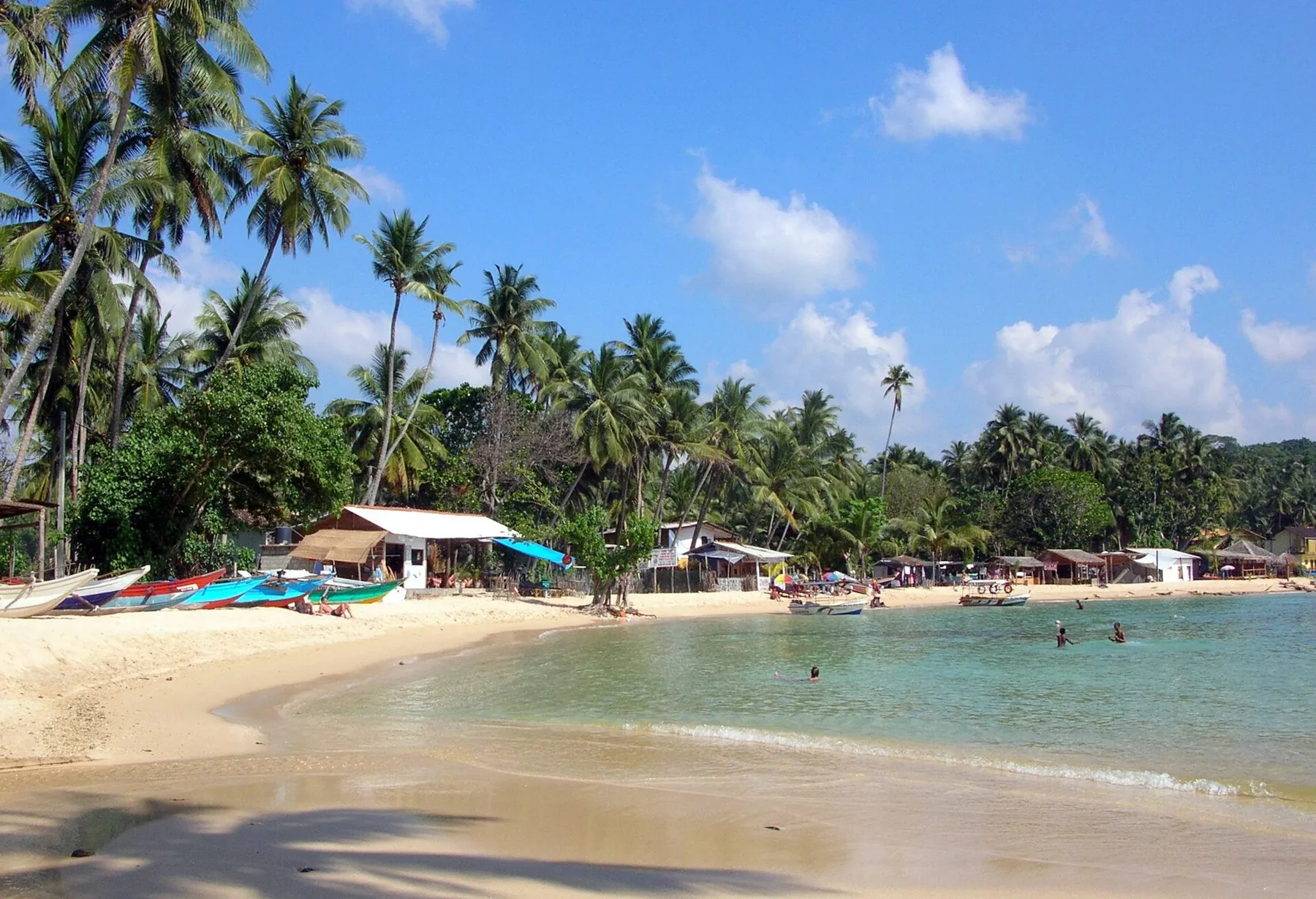
A reef-sheltered, semi-circular bay about 5 km south-east of Galle, with Rumassala hill, Jungle Beach and wreck dives next door. Best from December to March on the long-term rain record.
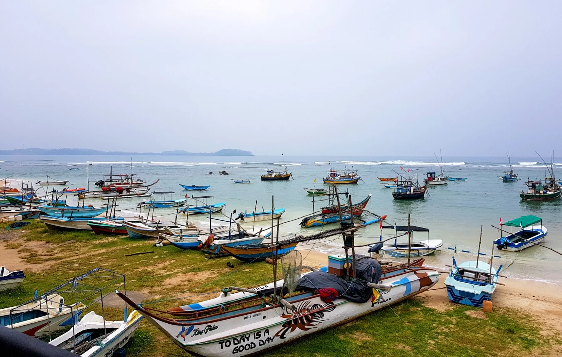
A wide, sandy bay on the south coast between Galle and Mirissa, known for beginner surf lessons, stilt fishermen and Taprobane Island. Surf season runs November to March.
A route-planning region for Yala, Udawalawe, Hambantota and nearby coastal stops, with park choice based on access, visitation and operator practice.
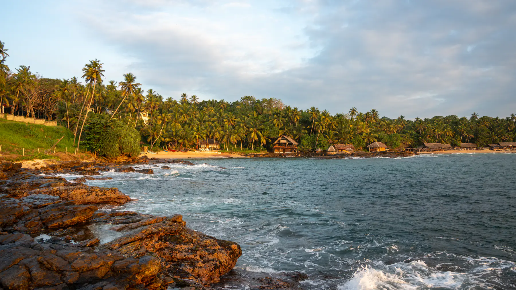
A south-coast town serving several distinct bays, best chosen by exact beach, current sea conditions and onward route.
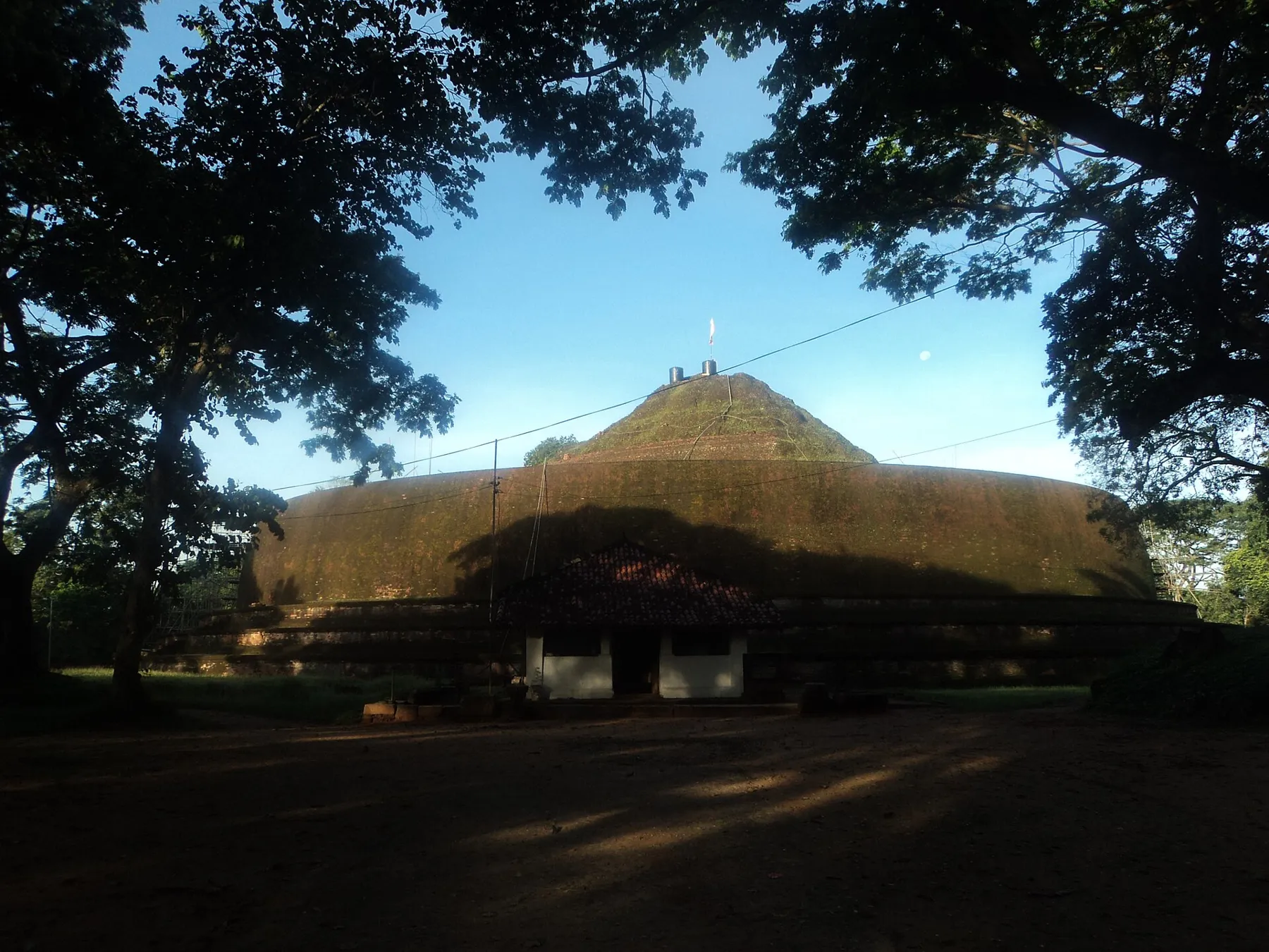
A small junction town in Monaragala District between Wellawaya, Kataragama and Monaragala, and the base for three ancient Buddhist sites: the Maligawila Buddha, the Yudaganawa stupa and Dematamal Viharaya. What the Uva tourism board says about each, road times to Ella, Arugam Bay, Kataragama and Tissamaharama, and how to fit Buttala into a route. Checked 26 October 2026.
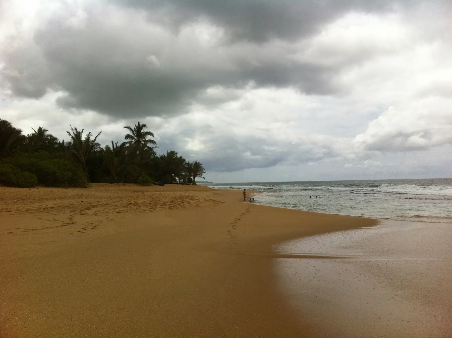
A deep-south transport and service centre that can support coastal, wetland or safari routing when the exact access points fit.
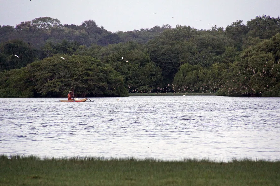
A quiet turtle-nesting beach and mangrove lagoon about 10 km east of Tangalle. The nightly turtle watch (Rs 2,000 for foreign adults on the project's own site), which months are busiest, the lagoon and birds, road times from Tangalle, Mirissa, Tissamaharama and Colombo, and rain by month. Checked 25 October 2026.
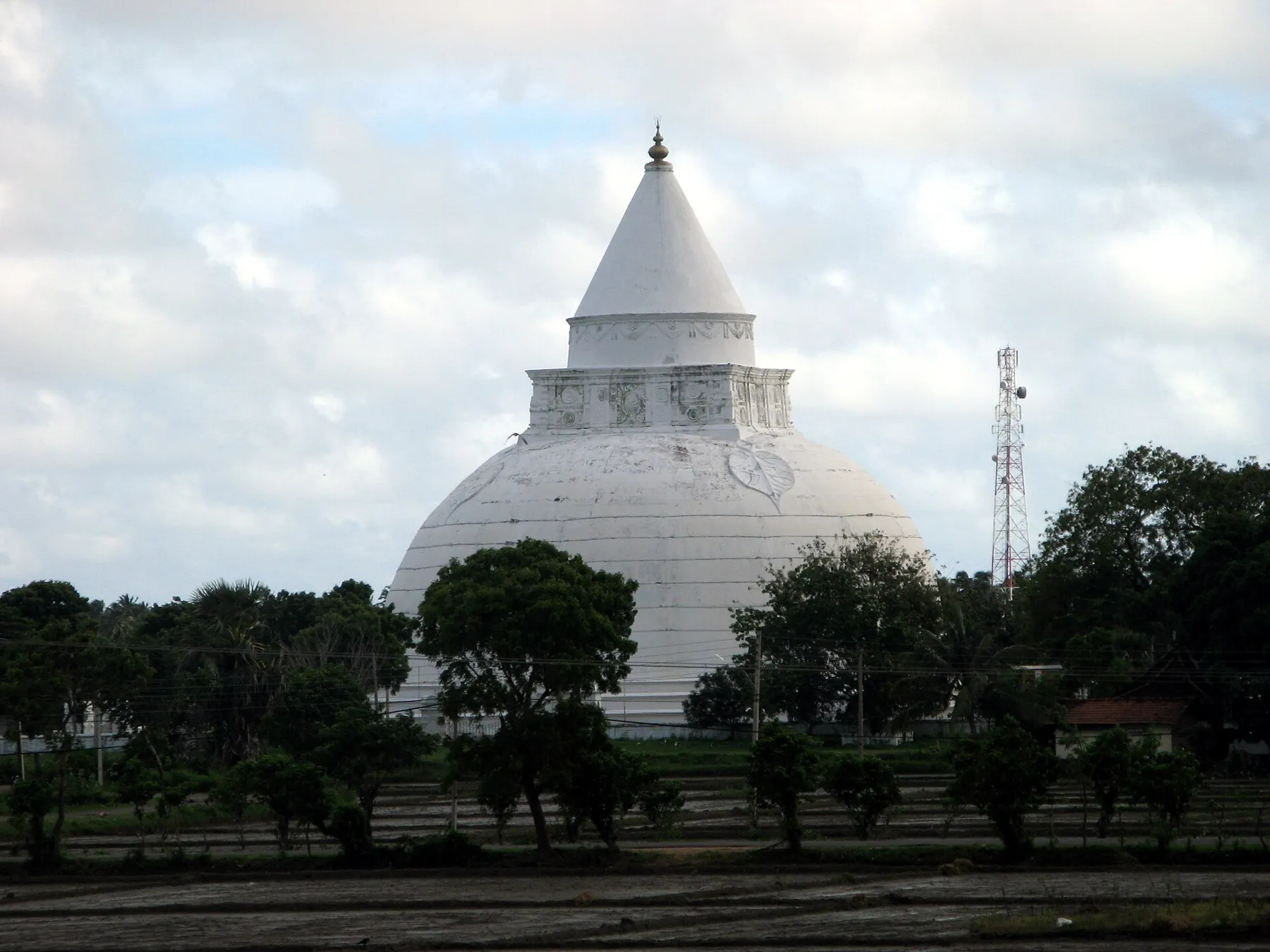
A small town on an ancient reservoir in the deep south, about 16 km by road from the Palatupana side of Yala and 17 km from Kataragama, with one of Sri Lanka's largest dagobas. Distances, the nearest railhead, Mattala flights and the best months, checked 21 October 2026.
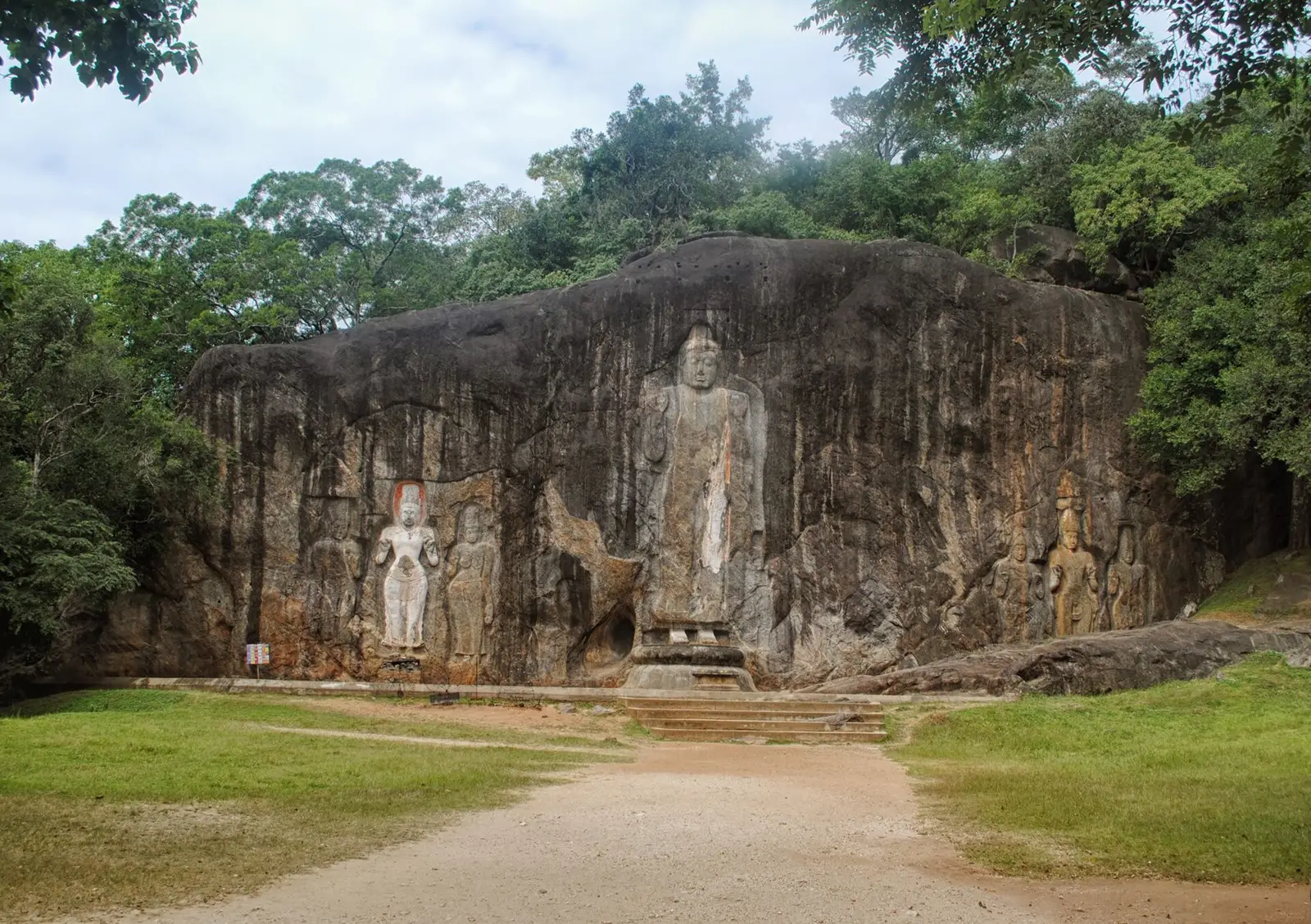
A junction town below Ella where the hill country road meets the roads to Tissamaharama, Arugam Bay and Udawalawe. The Buduruwagala rock carvings and their Central Cultural Fund ticket, Ellewala and Ravana Falls, road times to Ella and the coast, bus options and rain by month. Checked 23 October 2026.
A long coastal region linking Trincomalee, Batticaloa and Arugam Bay; choose a base and activity before applying seasonal guidance.
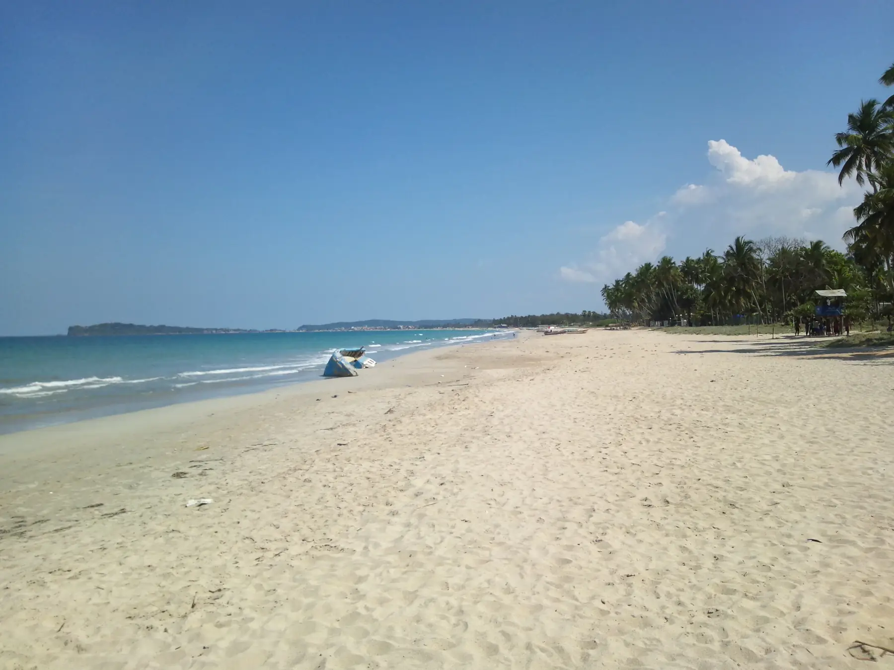
An east-coast harbour city combining beaches, protected marine access and active sacred or heritage places.
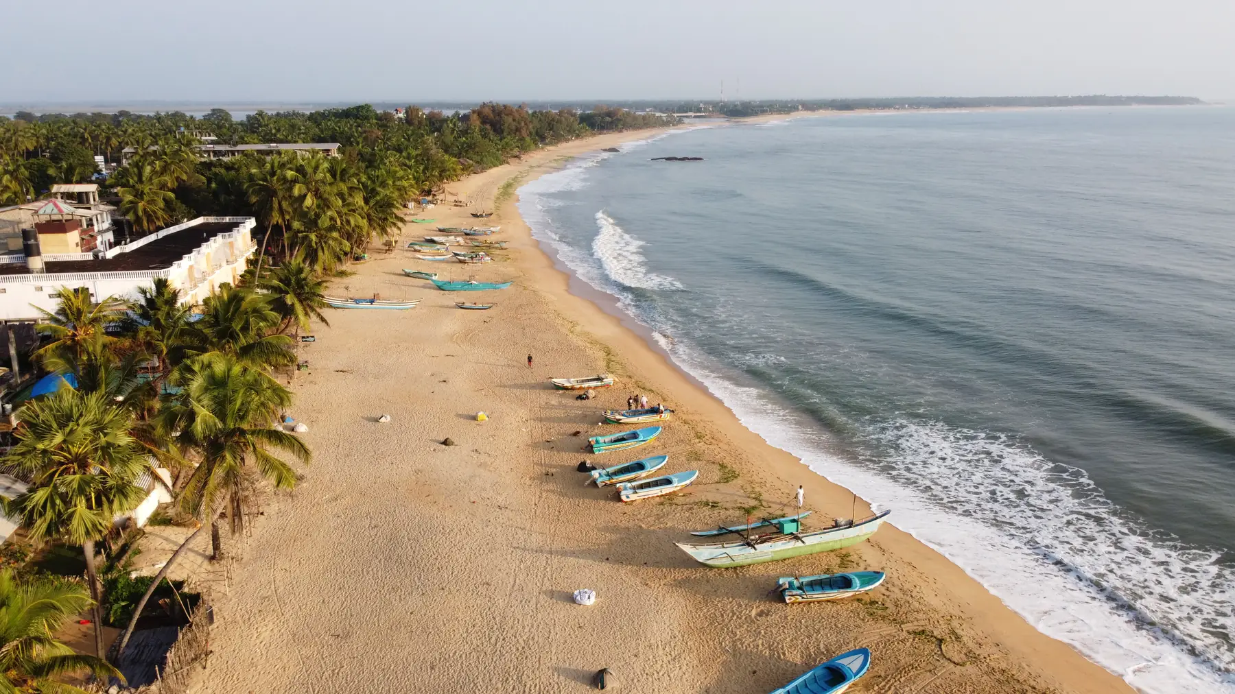
A south-east coast surf bay beside Pottuvil in Ampara District. Surf season runs roughly April to October, and the area's dry season falls in the south-west monsoon, May to September.
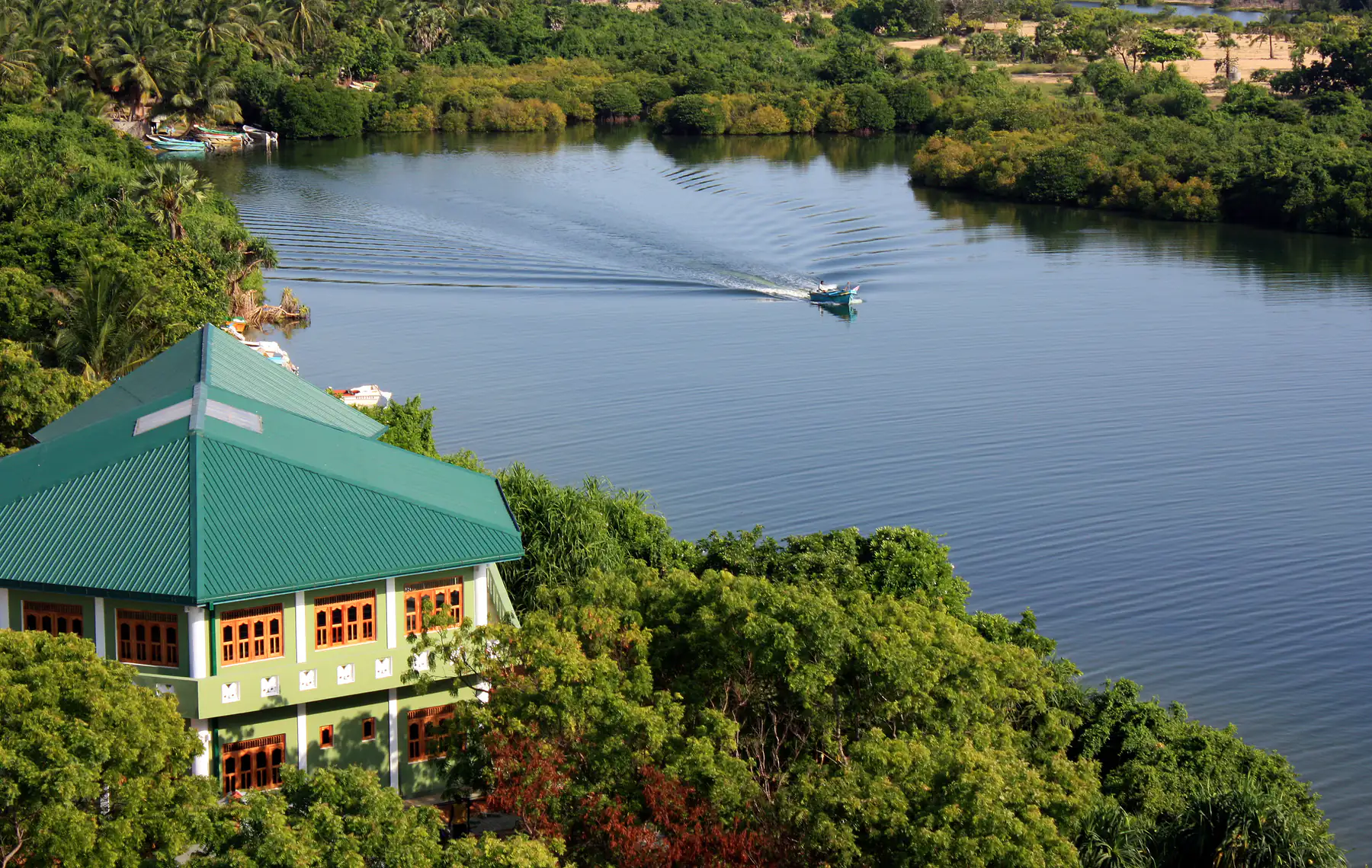
An east-coast city shaped by its lagoon, useful as a distinct cultural and coastal stop rather than a generic pass-through.
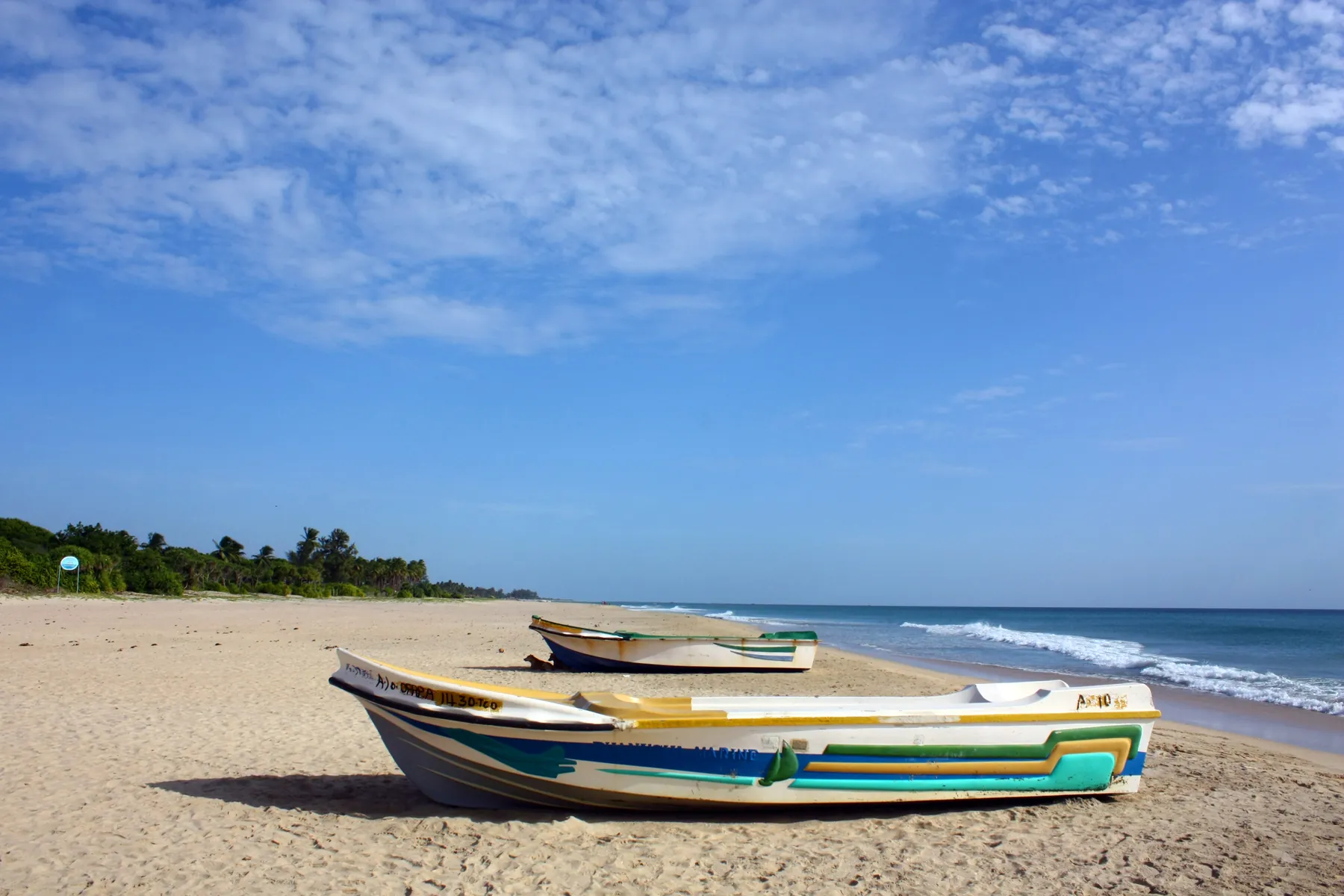
A long east coast beach about 20 km from Trincomalee and the usual base for Pigeon Island National Park. Its dry, calm months run from about February to September, the reverse of the south coast.
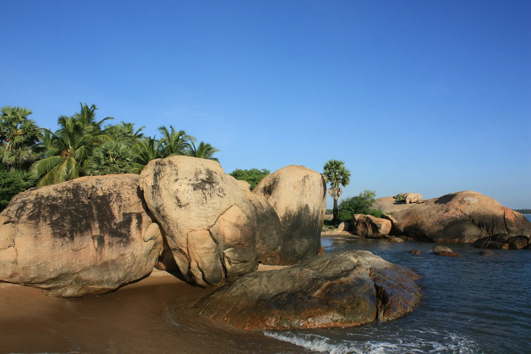
A shallow, sheltered bay about 35 km from Batticaloa, developed by the tourism authority as a National Holiday Resort, with Kalkudah next door. Best from about March to September; wettest from October to January.
A Jaffna-centred region for Hindu sacred sites, forts, peninsula communities and island connections that require current local verification.
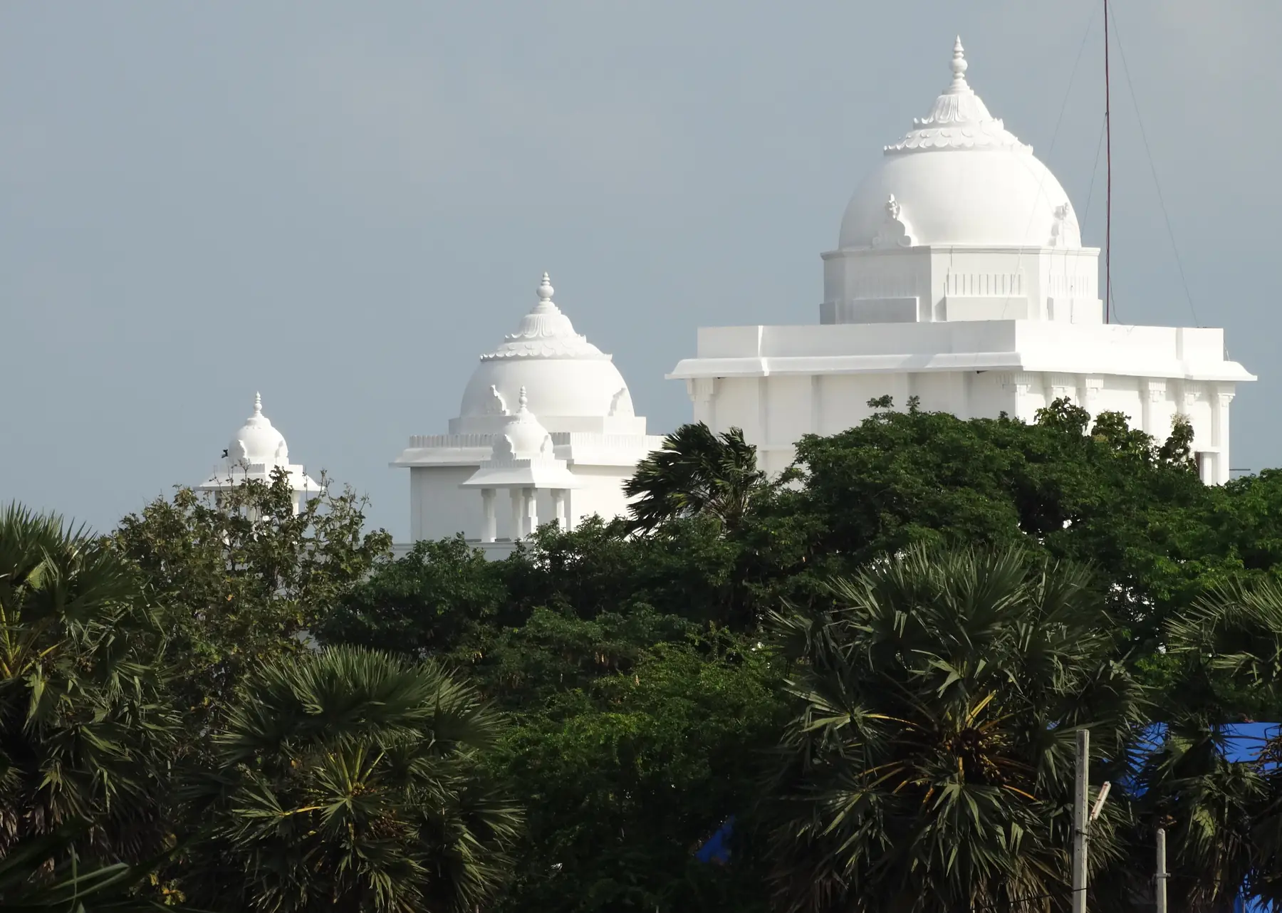
A northern city where active Hindu sites, colonial-era fortifications and peninsula or island routes require distinct planning.
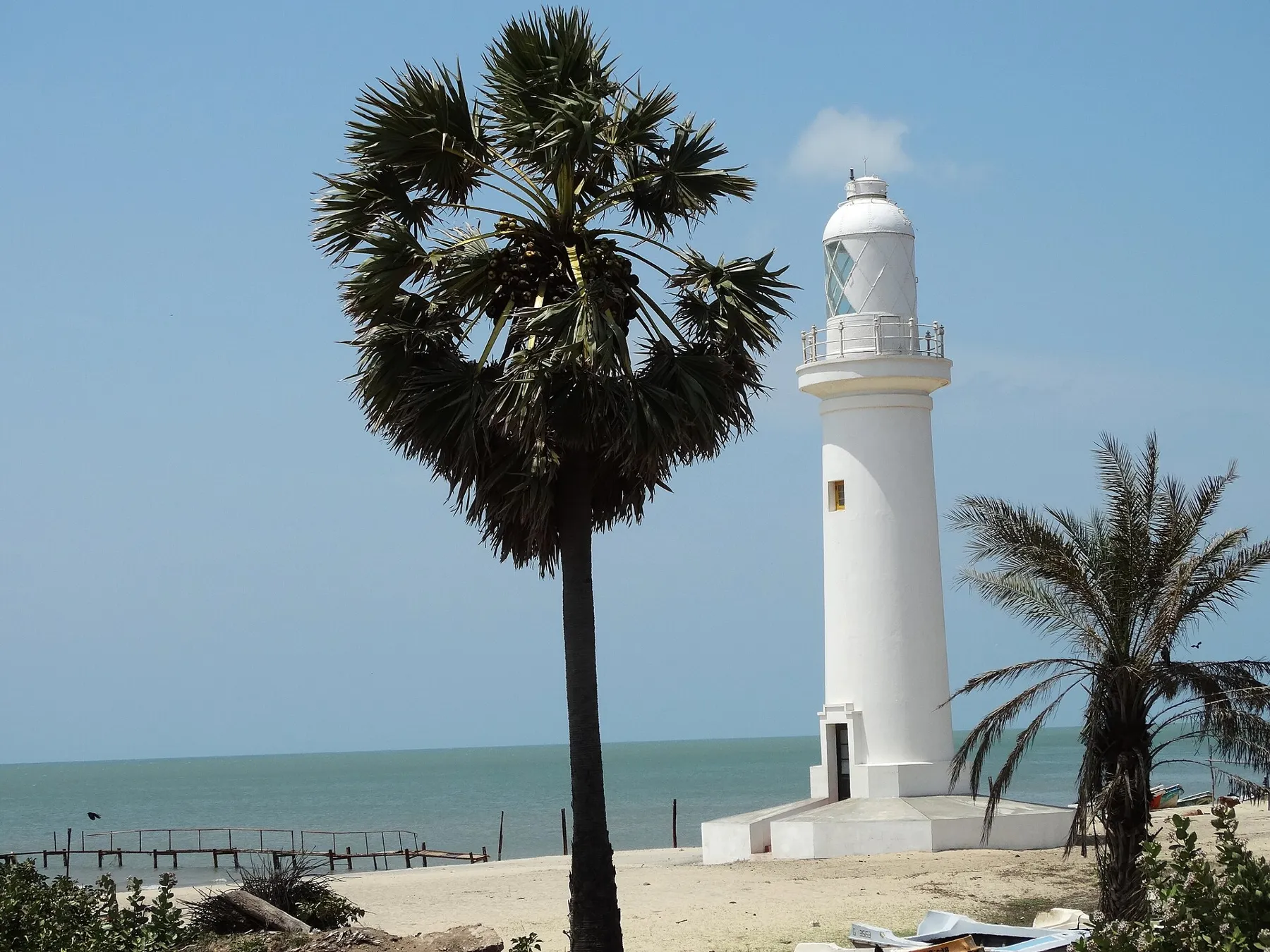
An island town in the north-west, joined to the mainland by a causeway, with a Portuguese and Dutch fort, a baobab tree the Department of Archaeology dates to 1477, Thiruketheeswaram temple and Adam's Bridge Marine National Park. Train fares, distances and the best months, checked 21 October 2026.
An urban-and-coastal region linking Colombo's city experiences with Negombo and other west-coast stops; choose it by arrival needs and real priorities.
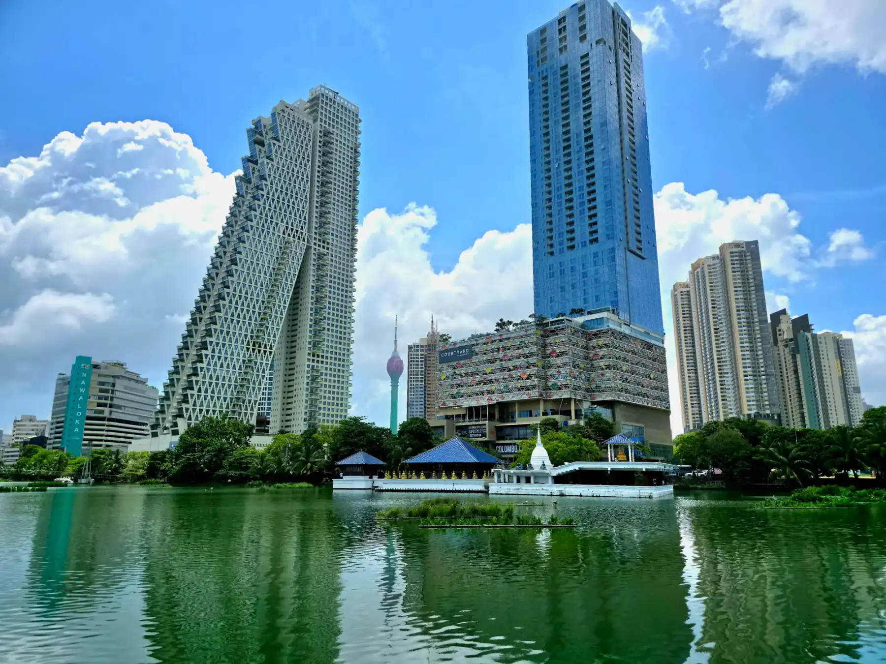
Sri Lanka's commercial and financial centre, best treated as an urban stop for markets, museums, food, shopping and coastal public space.
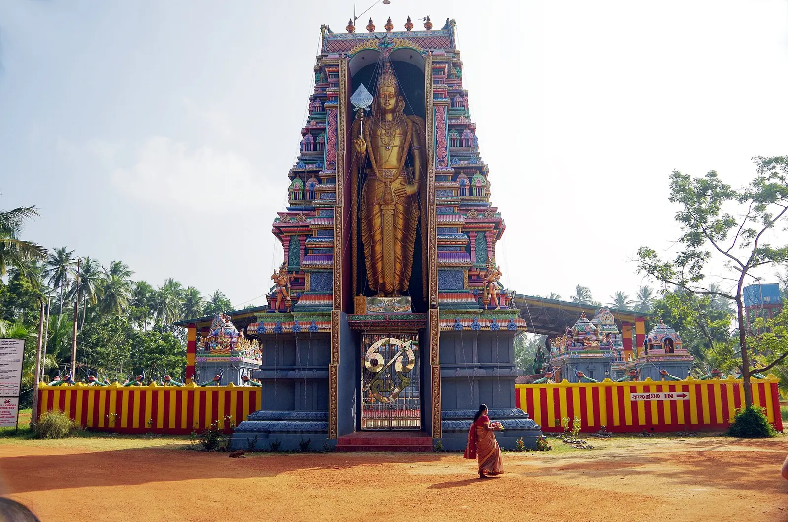
A west coast town about 53 km north of Colombo airport, best known for the Munneswaram Hindu temple and nearby Manavari, both on Sri Lanka Tourism's Ramayana list. Temple hours and pooja times from the official temple site, train and bus fares from Colombo, road times, the latest Puttalam line notices and rain by month. Checked 23 October 2026.
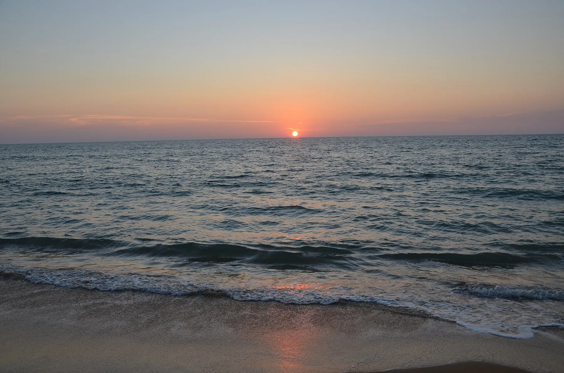
A peninsula between Puttalam Lagoon and the Indian Ocean, about 150 km north of Colombo, with two kitesurfing seasons, dolphin pods offshore and bar reefs. Wind, not beach weather, sets the calendar here.
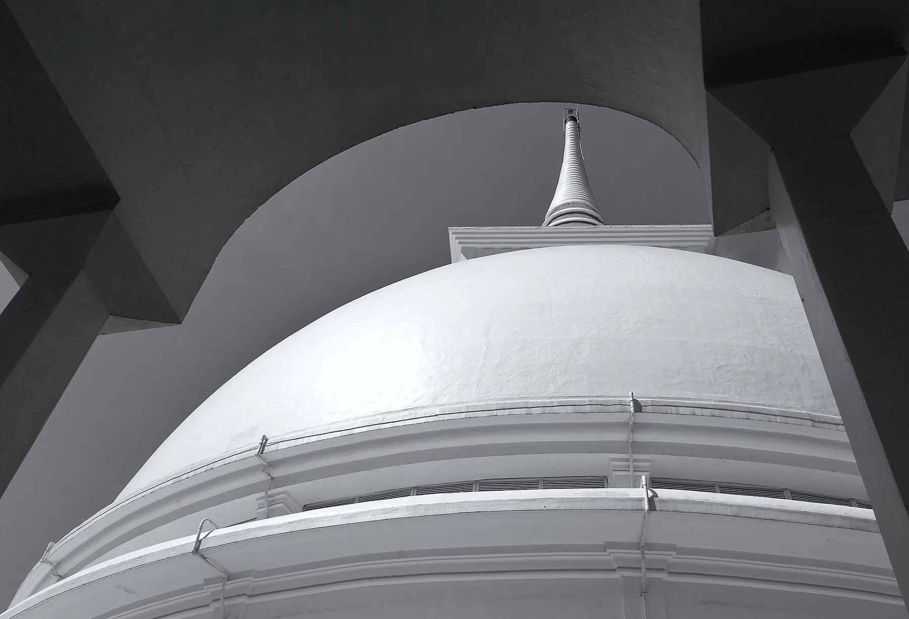
A west coast town about 43 km south of Colombo, known for the Kalutara Bodhiya temple by the Kalu Ganga and Richmond Castle, a 1900s mansion with 99 doors. Train fares, road times, opening hours and the best months, checked 21 October 2026.
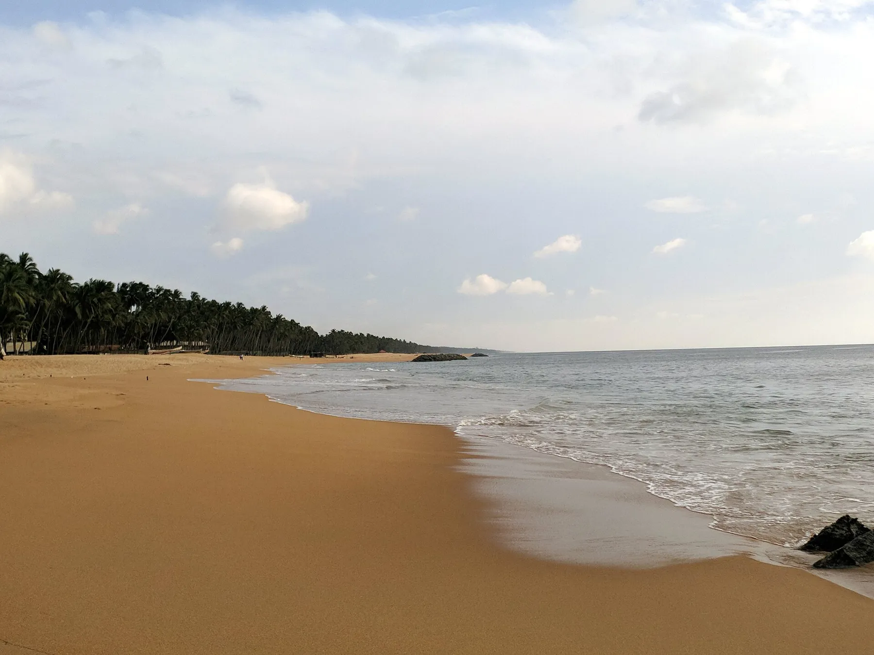
A quiet beach town on the north-west coast, about 34 km from Colombo airport, between Negombo and Chilaw. The Holy Cross national shrine on the beach, an official resort region, buses on the Colombo to Chilaw road, road times to Negombo, Chilaw, Kalpitiya and the Anawilundawa wetland, and rain by month. Checked 25 October 2026.
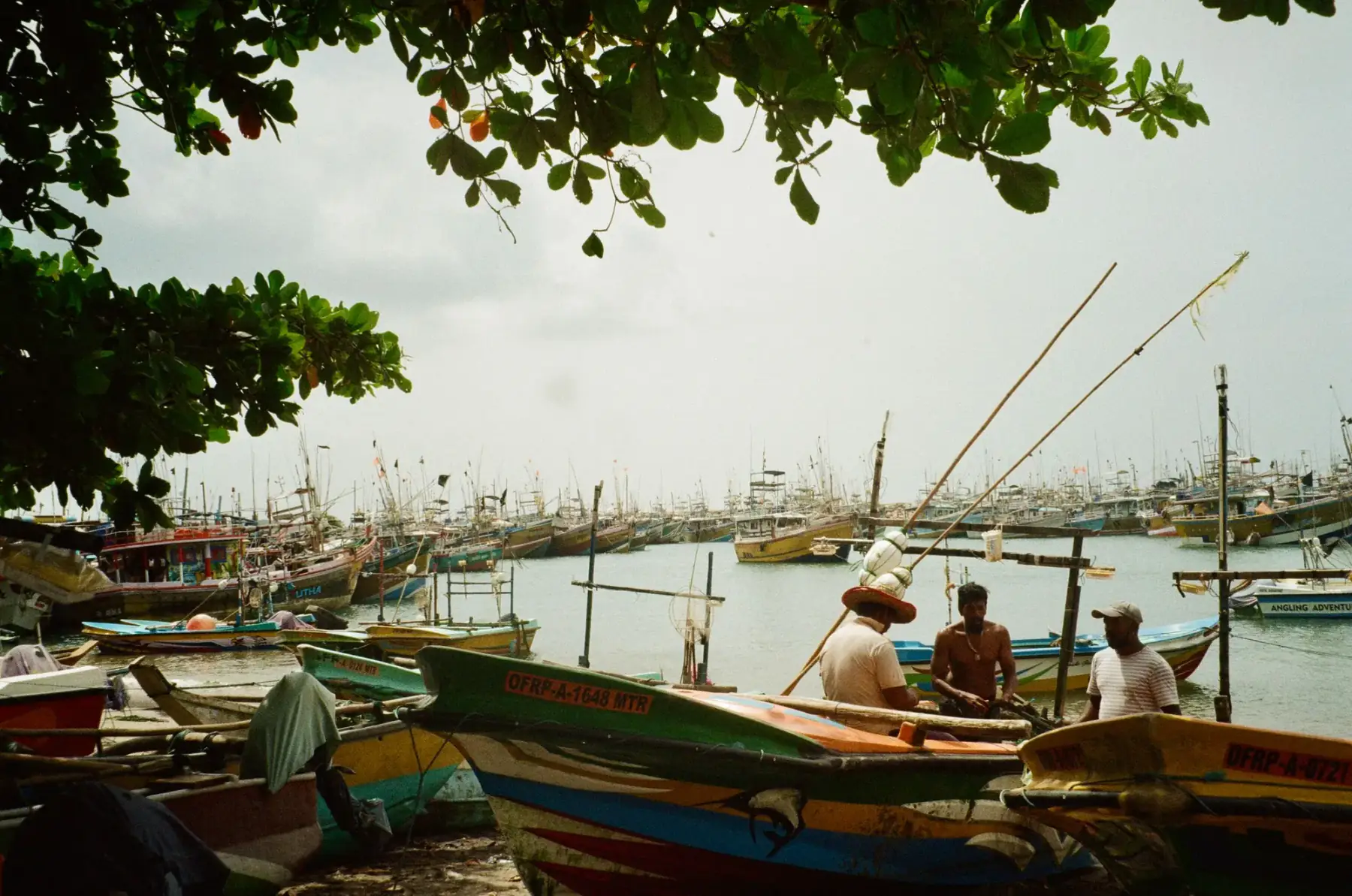
An airport-adjacent west-coast town where a stopover can focus on the lagoon, fishing context, town heritage or beach time.
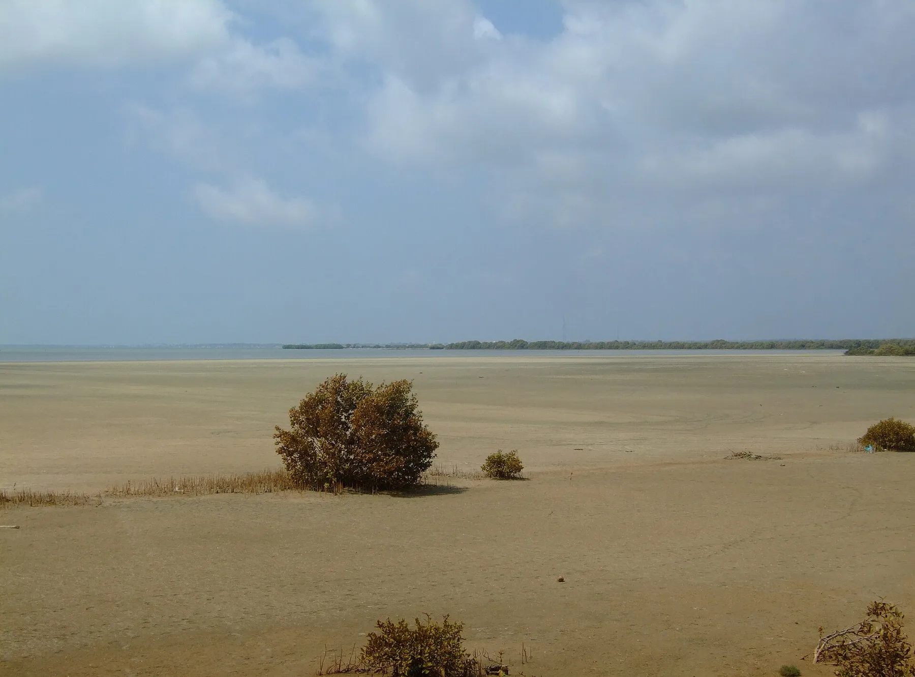
A lagoon town on the north-west coast, about 106 km from Colombo airport, and the gateway to Kalpitiya, Wilpattu and the Anawilundawa wetland. Official bus fares from Colombo and on to Mannar, road times to the airport, Kalpitiya, Chilaw and Anuradhapura, the Ramsar wetlands nearby and rain and temperature by month. Checked 24 October 2026.